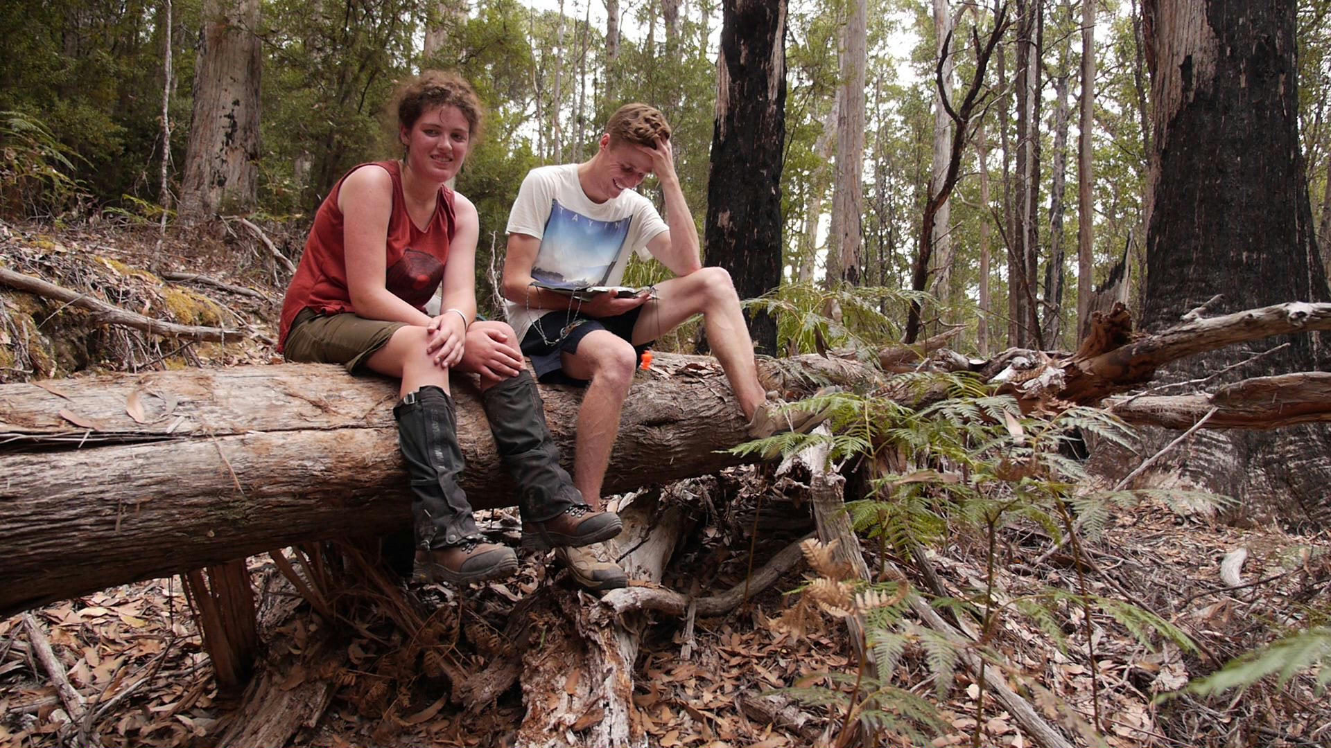
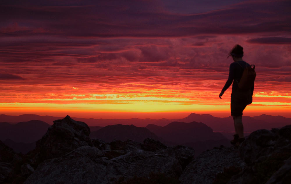
When people ask me what my favourite outdoor adventure was, it doesn't take me long to think back on this amazing two weeks in the Tasmanian wilderness while traversing the Western and the Eastern Athurs ranges with two friends Evie, Bryce and my Mum.
The story starts with my father recounting the experience of hiking in the Western Athurs with his brother and another friend. For 3 days they were trapped with bad weather at Square Lake in their A-Frame canvas tent. With everything soaked, they eventually retreated to a nearby cave. When the weather eventually broke, they beat a hasty retreat back the way they had come. A second trigger for the trip idea was the memories of a description from a friend in high school when he, his father and brothers traversed both the Western and the Eastern Athurs. The combination of remote and beautiful scenery, a challenge, and a little bit of family history served to make idea of hiking this route seem rather exciting.
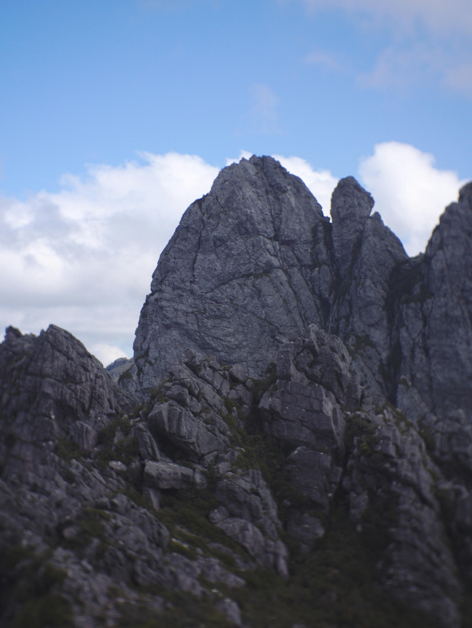
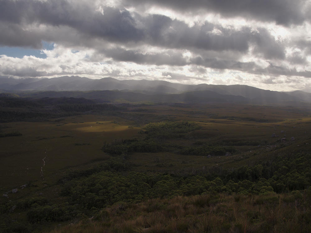
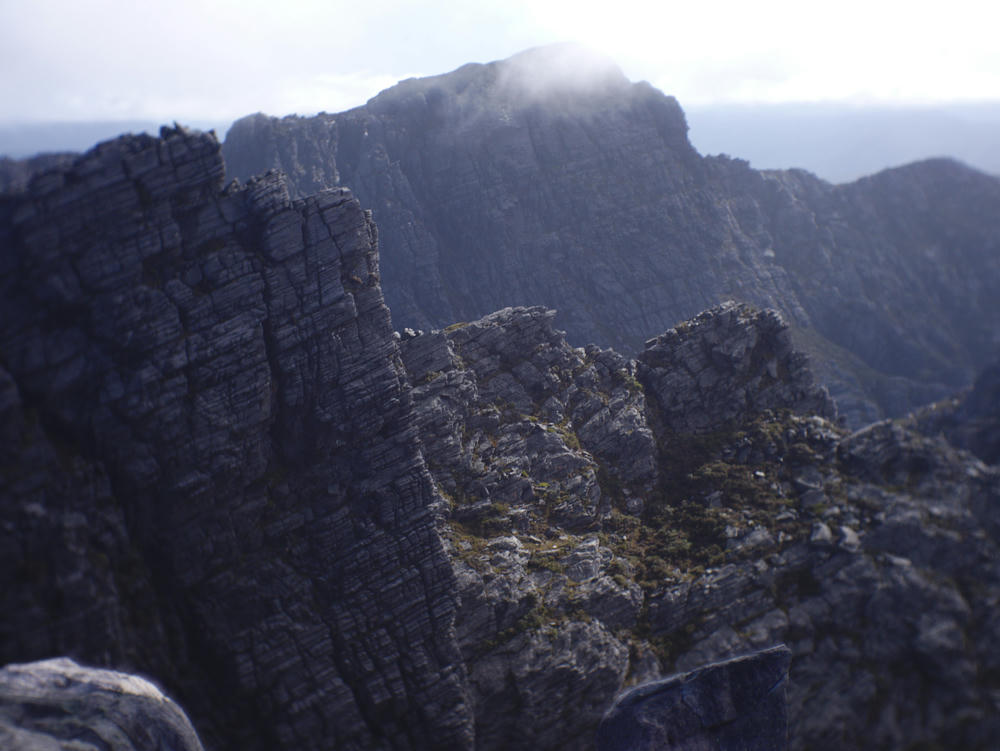
A traverse of both the Western and Eastern Athurs takes you across some of the most rugged and beautiful scenery in Australia. It is a challenging undertaking both physically and logistically. The wild weather events in Southwest Tasmania can have a large influence on the outcome of your trip. Some sections of the range are several days from any point where you can exit in a hurry, it's a committing undertaking.
It also saddens me to learn that a large portion of this trip was likely burned during bushfires a year ago.
Planning
During the planning for the route, I painstakingly plotted the expected track and points of interest in Google Earth, ready to save onto our trusty, Garmin e-treks GPS unit.
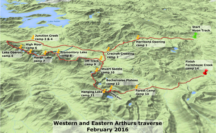
Athurs Ranges Map
Map of a traverse of both the Eastern and Western Athurs. Does not include the Huon Track which we also covered.
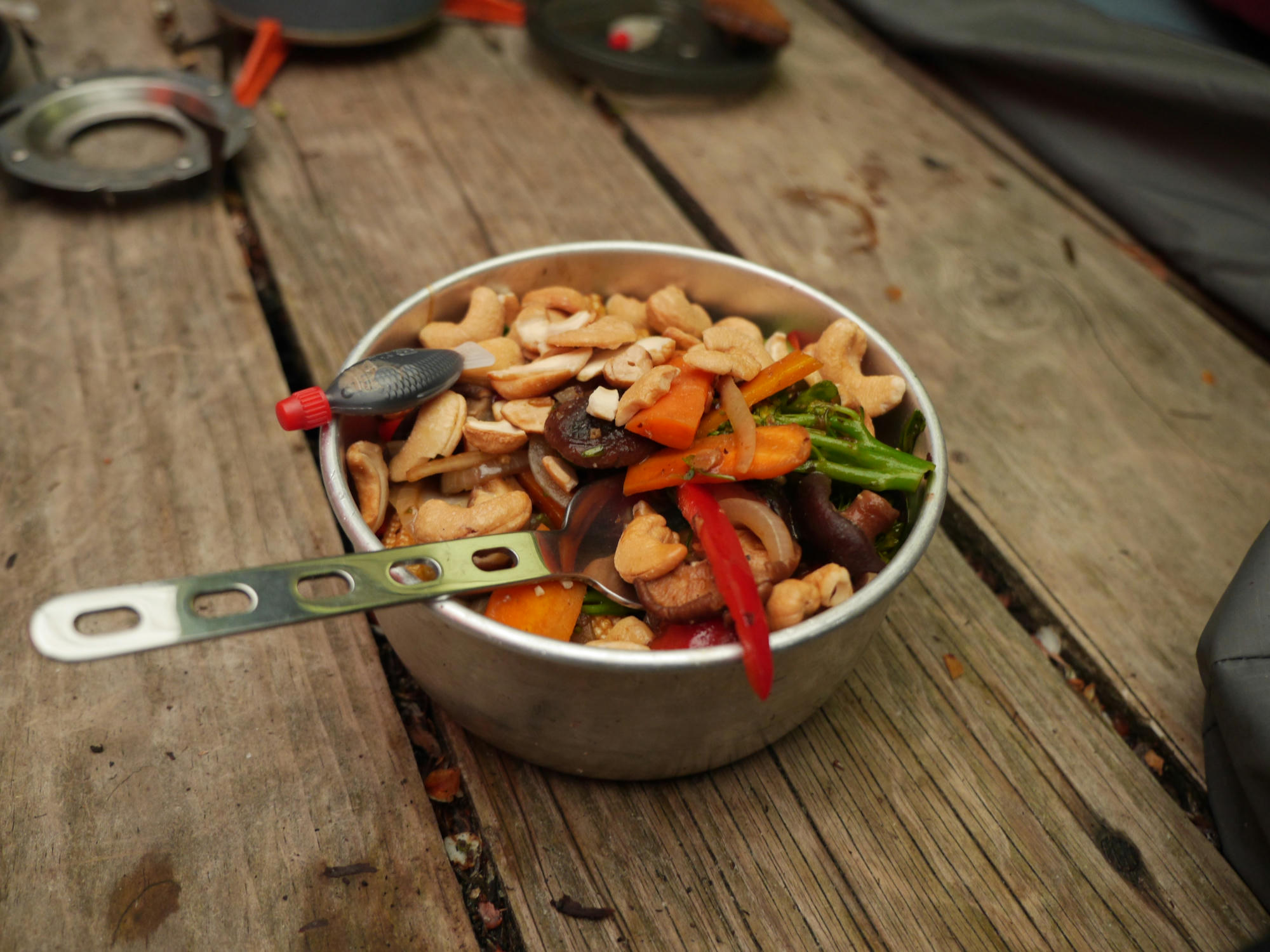
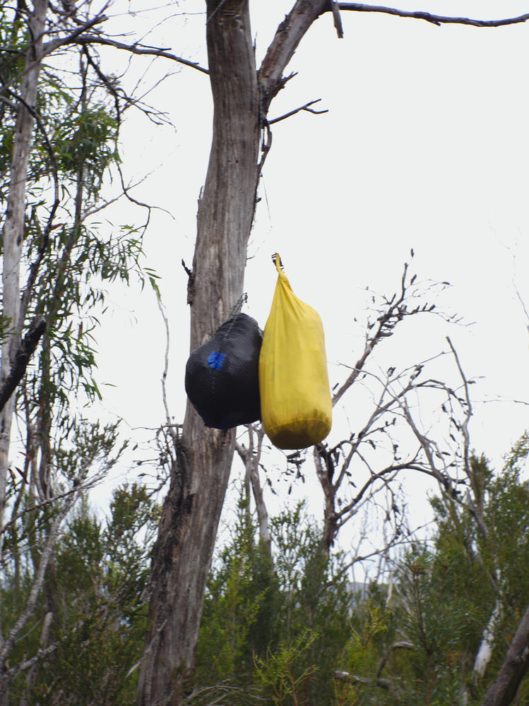
Food planning was extensive, as we were going to carry enough food for around 15 days of hard hiking on our back right from the very beginning. After 2 days of walking, we planned to drop around 6 days of food at the midpoint between the Western and Eastern Athurs where we could collect it and continue the trip when we returned to that point upon completing or retreating from the Western Athurs.
Just before departing, I saved the 10 day forecasts from metvuw, onto my phone, which luckily served us extremely well in our decision making.
Preperation
One of the concerns I had for the trip was how my mum would cope with scrambling up wet rocks with a heavy backpack. So we decided to take a training trip to the Cathedral Ranges, and climbed the Well's Cave route in the pouring rain. I distinctly remember water running down the wall and down our raincoat sleeves as we sqeezed through the cave! Mum made it up just fine, and I was no longer worried about her climbing in the Athurs.
The Approach
Evie's parents live near Hobart, and they offered to host us upon arriving there by plane on Friday. Evie's mum was very kind to offer to drive us to the beginning of the hike the following morning.
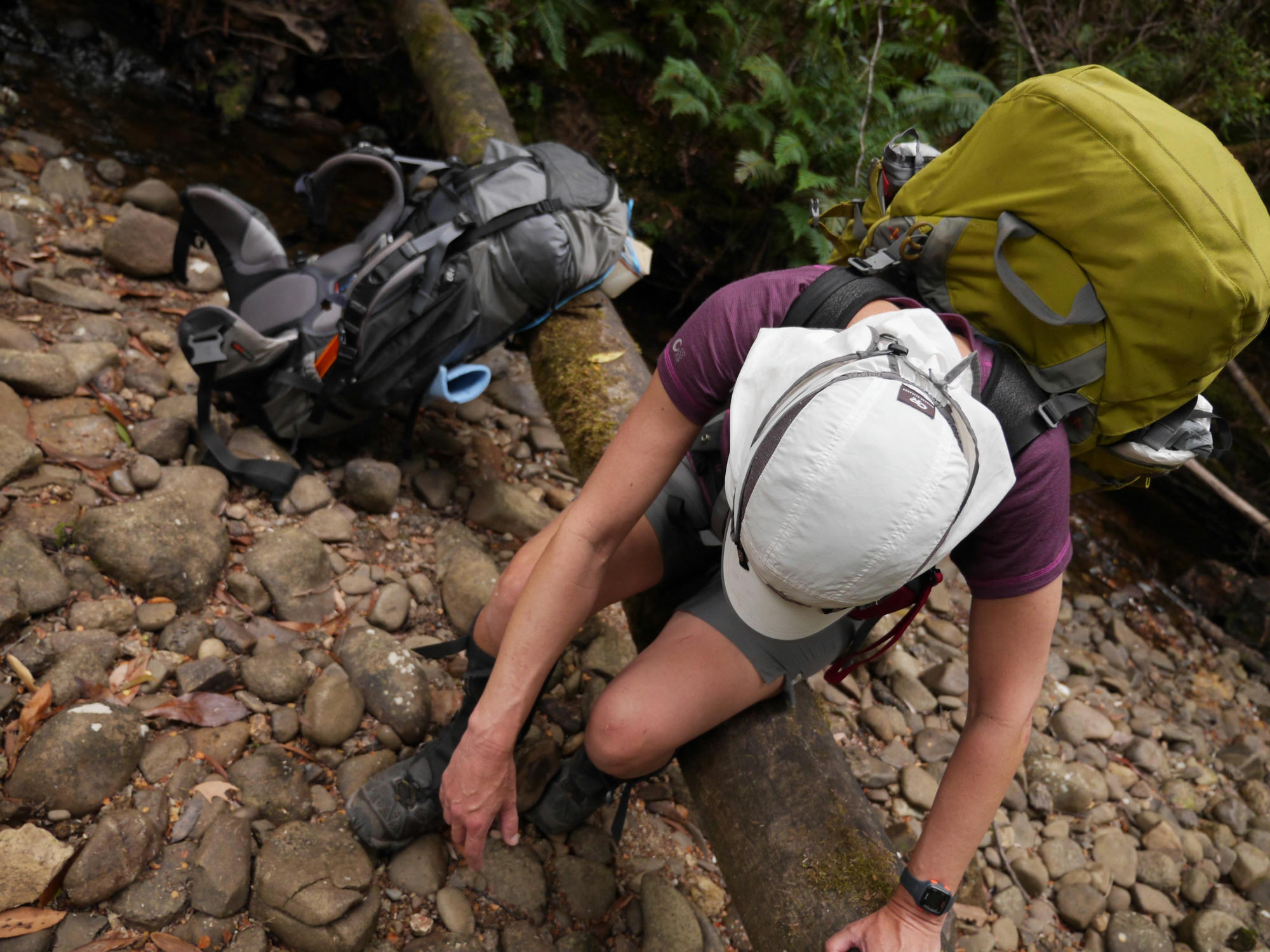
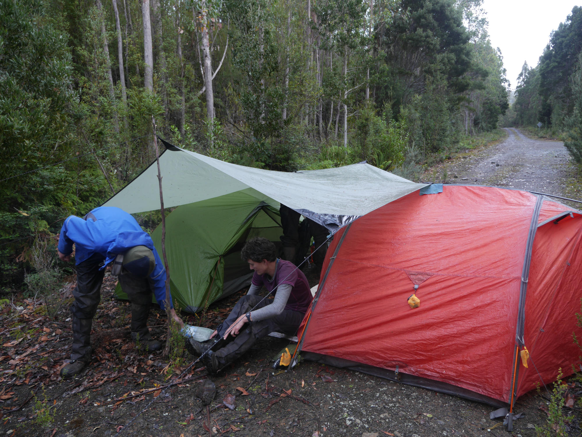
Day 1: The first day was hard going with very heavy packs. Crawling under, around or over the many fallen trees required patience and determination. We stopped next to the river for lunch before continuing to Harrison's Opening, arriving at twilight just as it started to rain. Two ladies passed us here coming the opposite direction having almost completed a 10 day round trip over the Western Athurs. They seemed tired, but excited at what they had achieved.
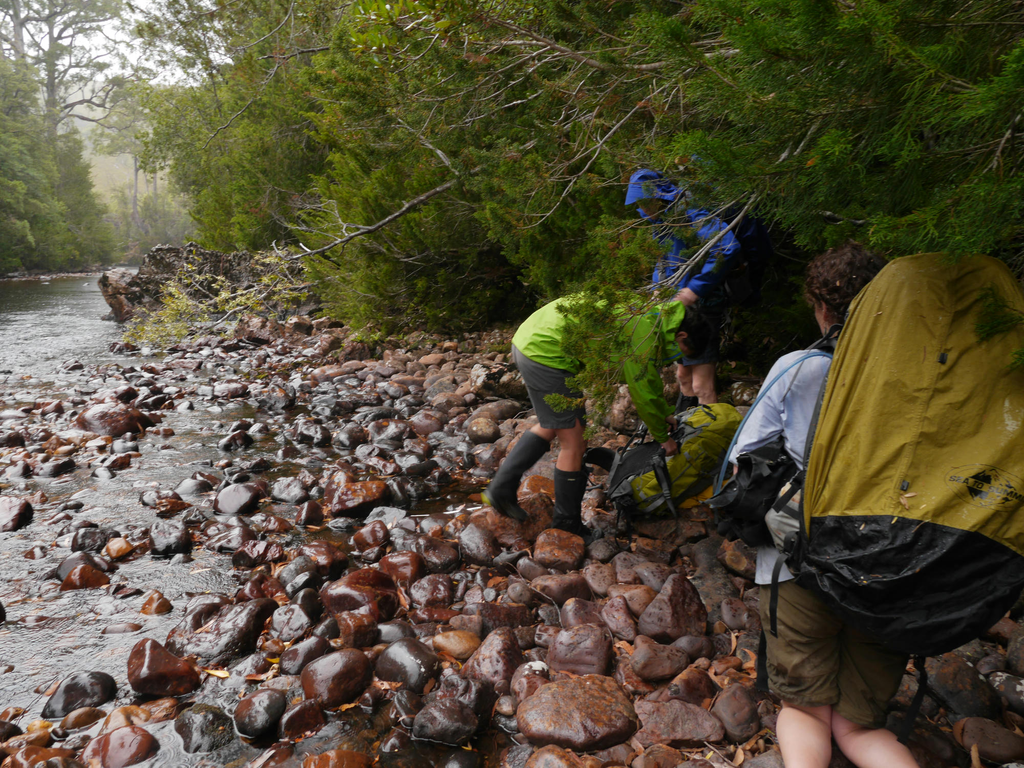
Day 2: Some of the food we decided to take was dried beans. Evie decided this morning that she would grow some sprouts in a plastic jar on her backpack. I think the lack of sunshine on our trip may have stopped that plan! We spent less time ducking under logs this day, and soon reached the point on the Huon River where we needed to cross to get to Cracroft Crossing. How to do this without needing to swim or do lots of bushbashing was an interesting conundrum, however a log jam we discovered further up stream made this easily possible.

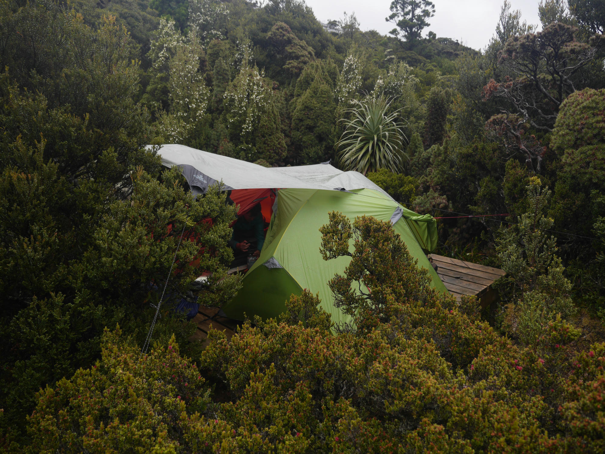
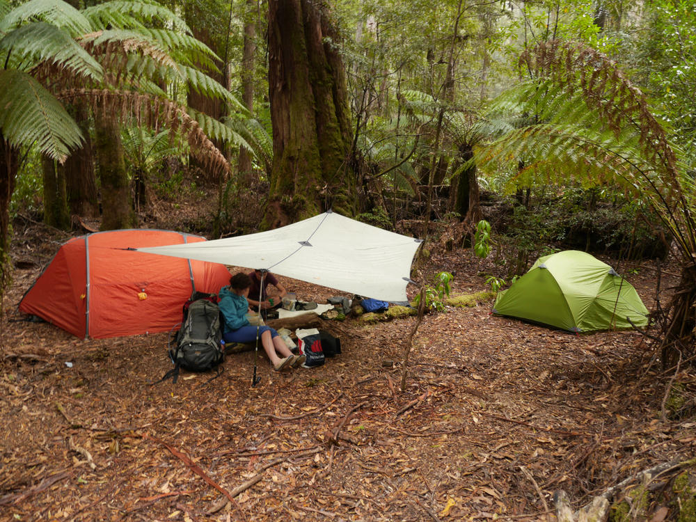
After setting up camp, Bryce and I headed off in the direction of Stuart Saddle to prepare our food drop, we hung it in a double bag on with a string off a tree off the side of the track so the possums or other animals couldn't get to it.
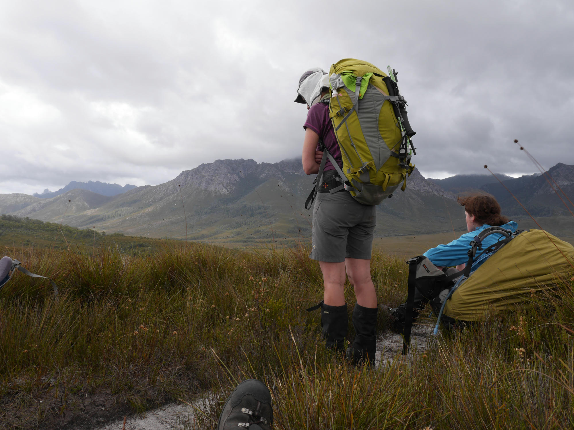
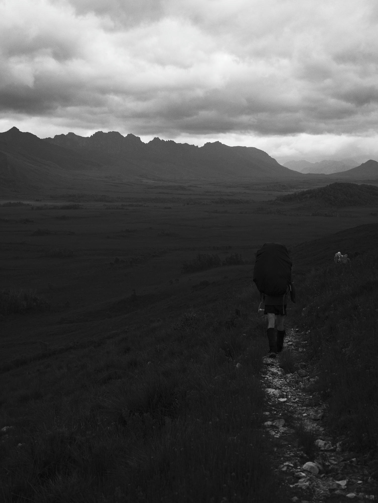
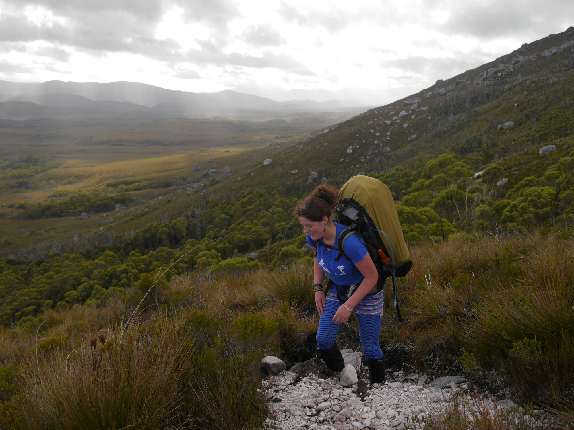
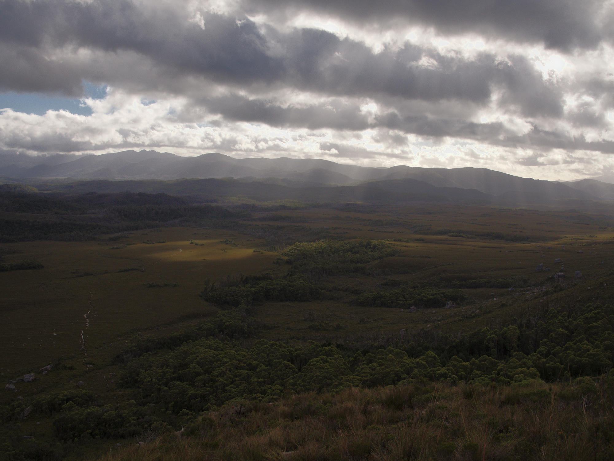
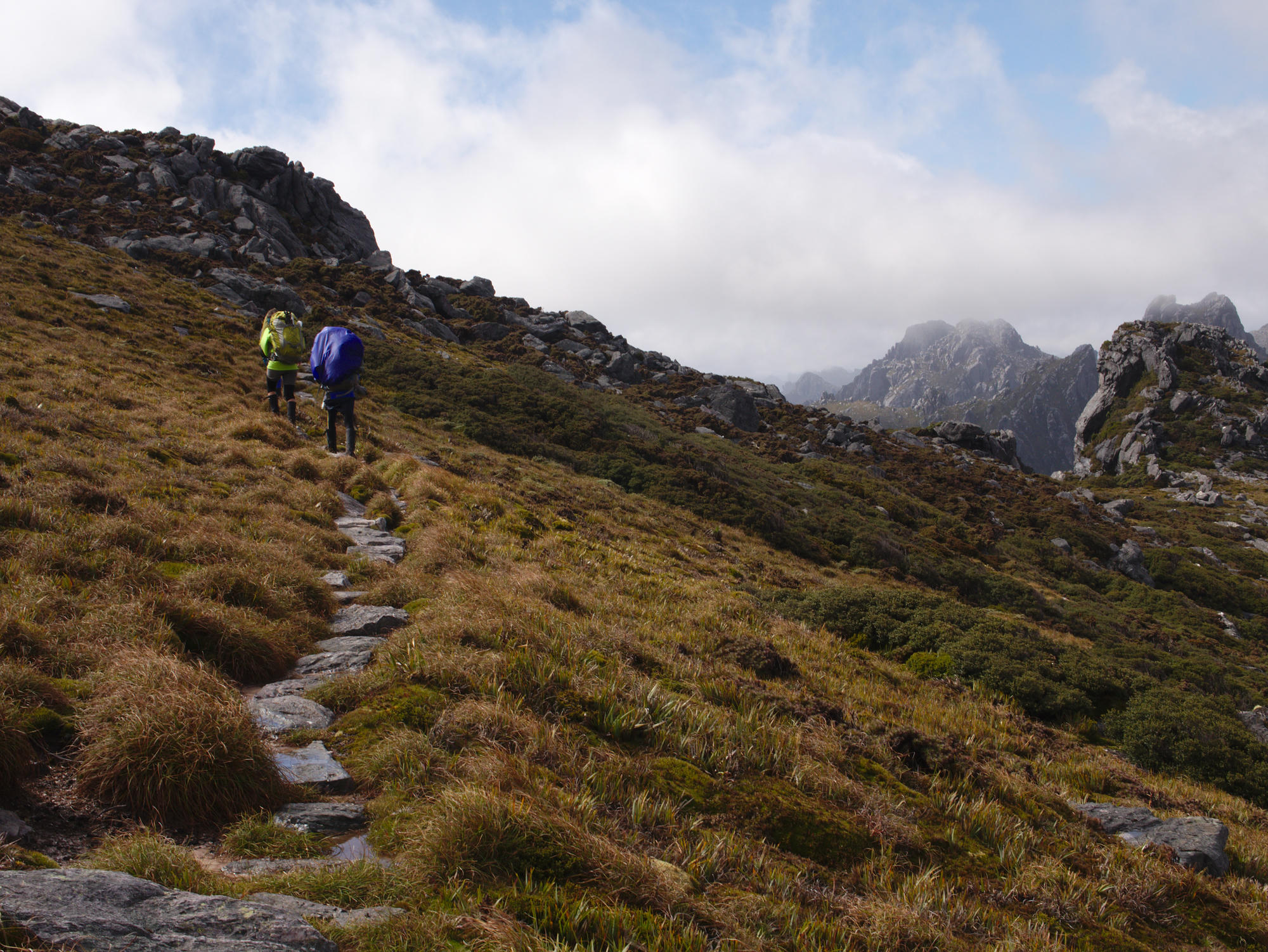
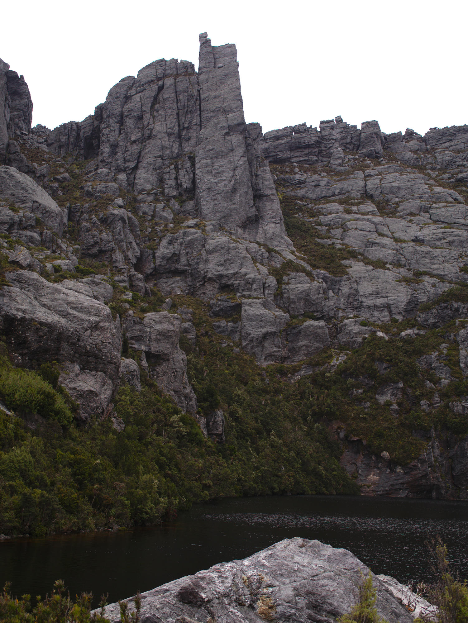
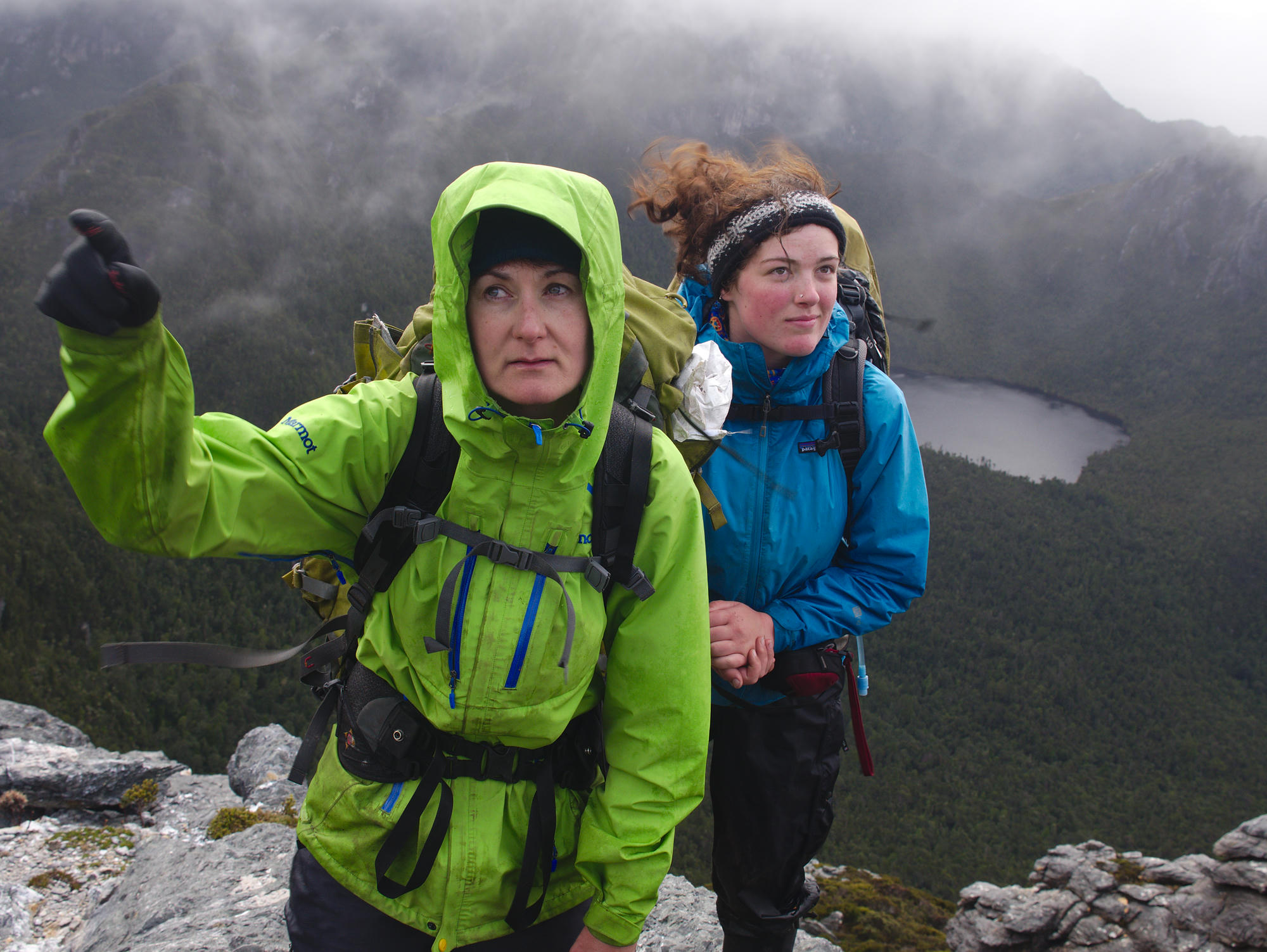
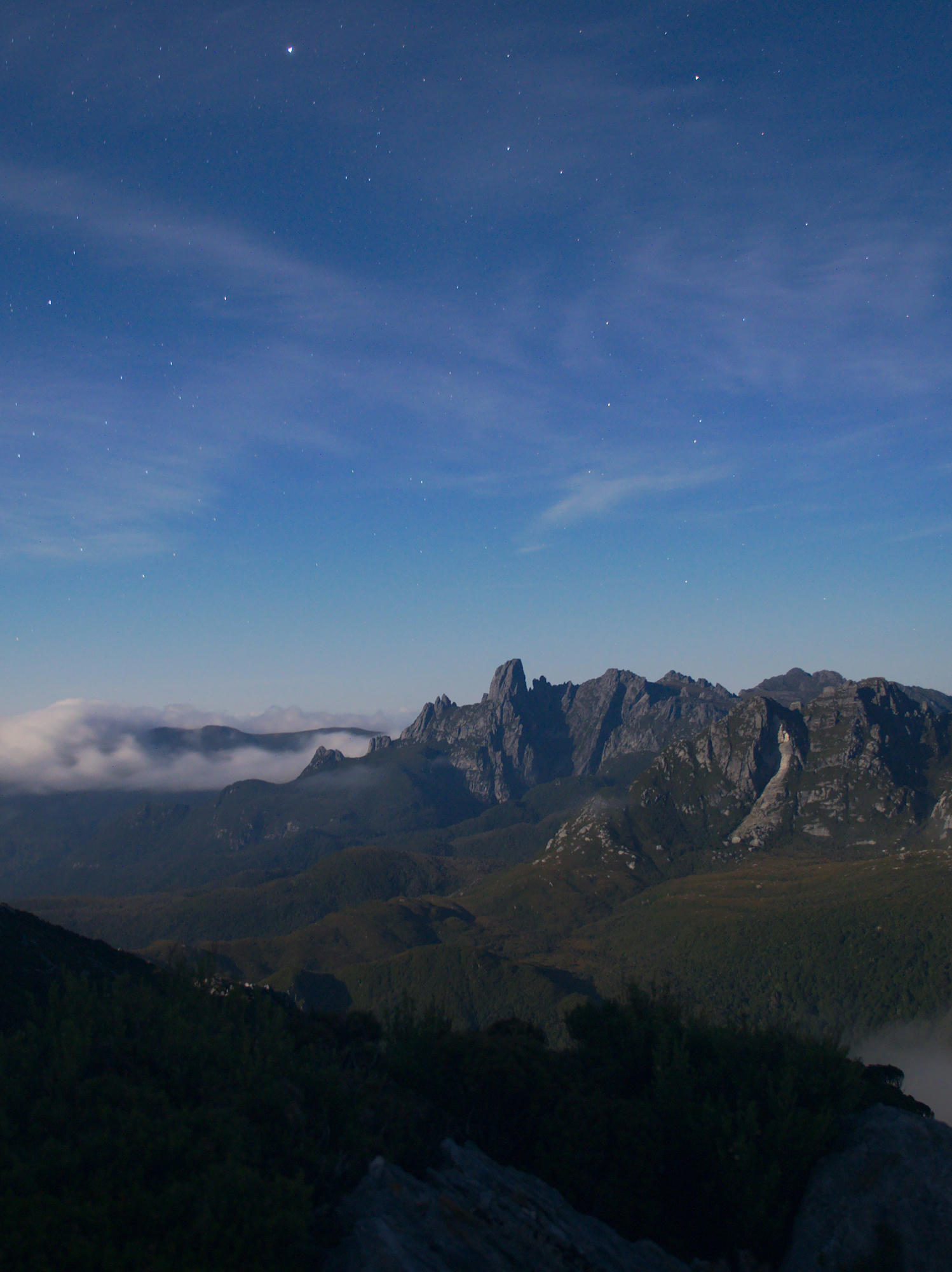
Day 3: 5 minutes walking and we cleared the trees and gained the fields with a clear view of the Western Athurs. It feels like walking along the edge of Mordor, with ominous peaks on the skyline. The clouds were very grey, and the wind was whipping up, at one point mum was blown off the track. The last hour of walking to Junction Creek consisted of hail and heavy rain. We set up camp in a hurry.

Day 4: We were pretty tired from the previous three days walking with heavy packs, and the extremely bad weather provided some welcome relief in the form of a rest day. The choice was easy, because to get turned around trying to reach Lake Oberon on this day would have cost the trip. We were all amused at the toilet setup, a tank with a seat on top in the open. Clearly optimised for helicopter access! In the afternoon we met some fellow hikers who had beat a hasty retreat off the range after attempting Moraine A, to Lake Oberon, we were glad we had spent the day in the tents.
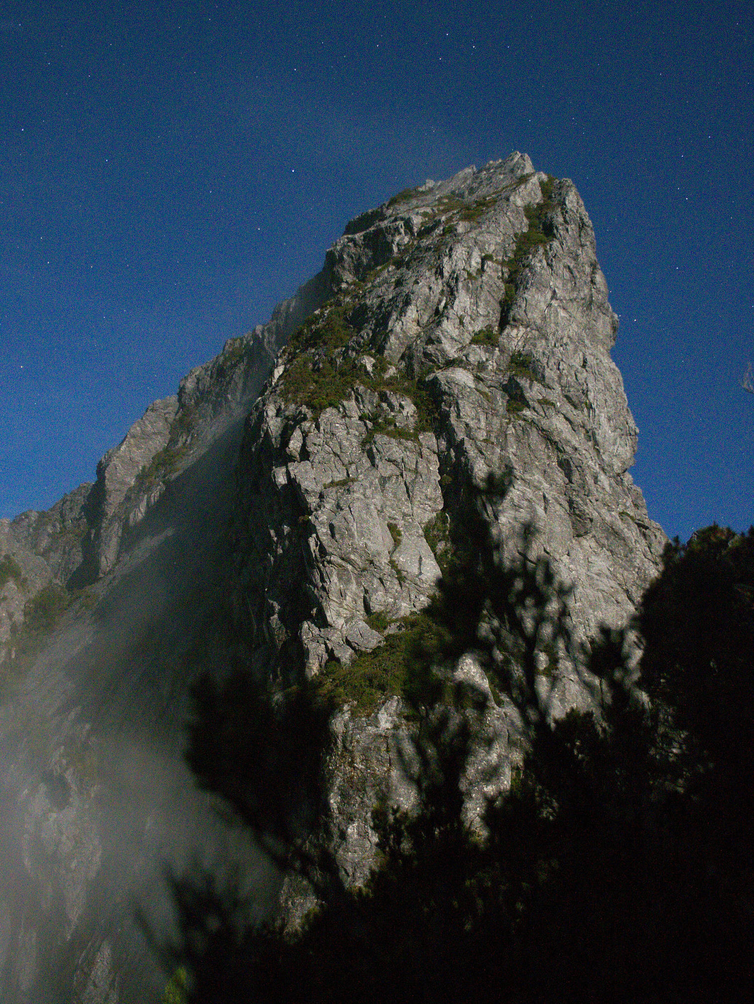
Western Athurs
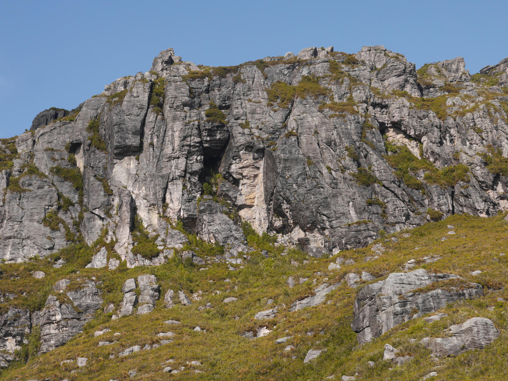
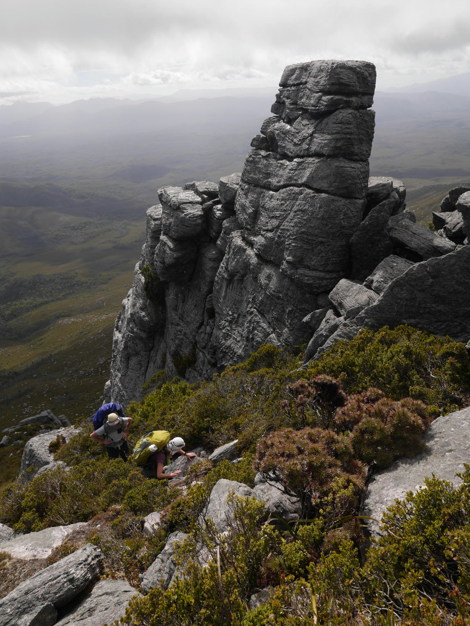
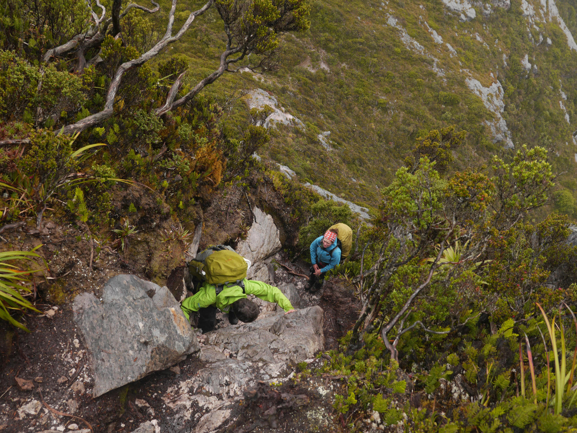
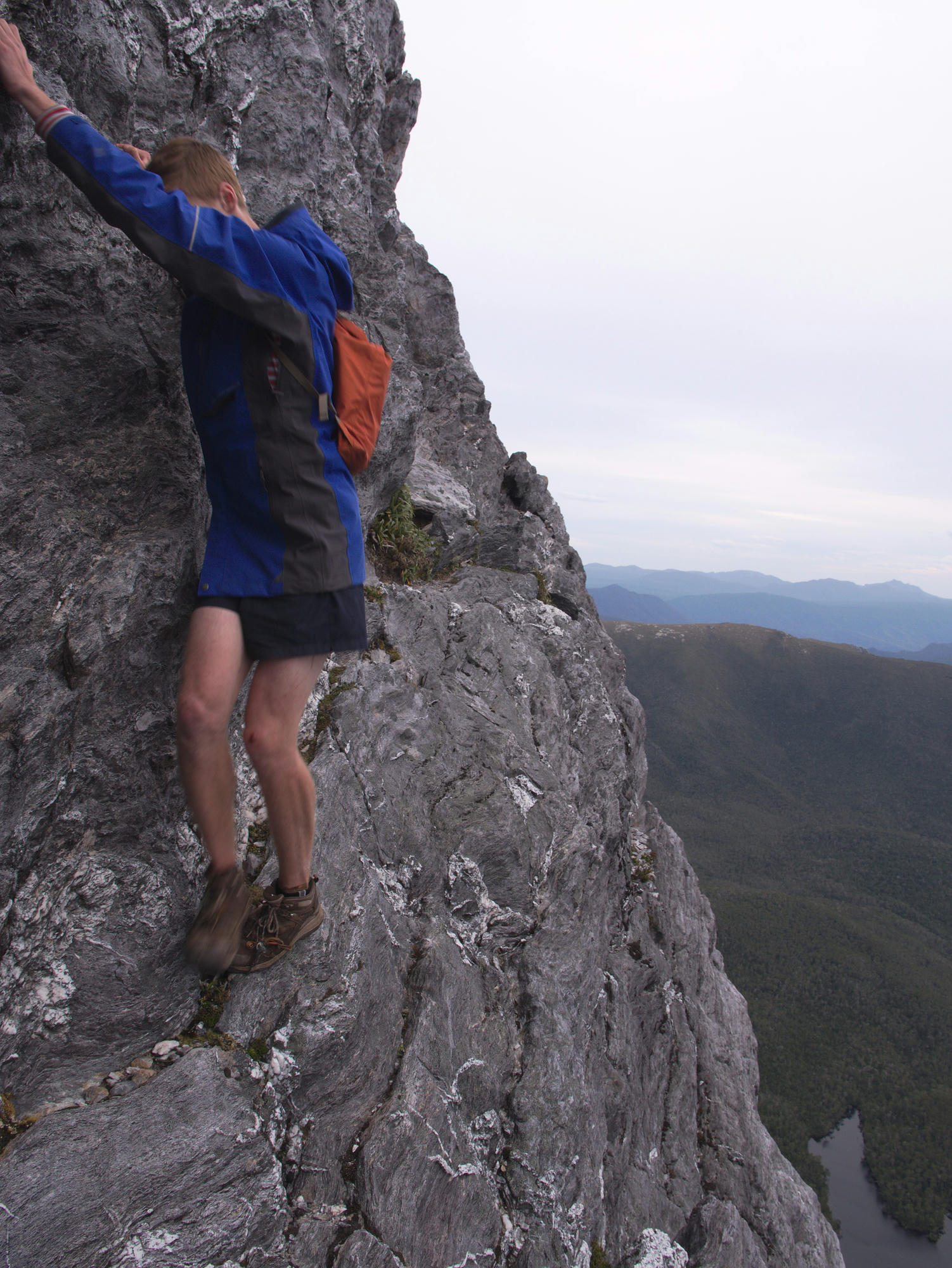
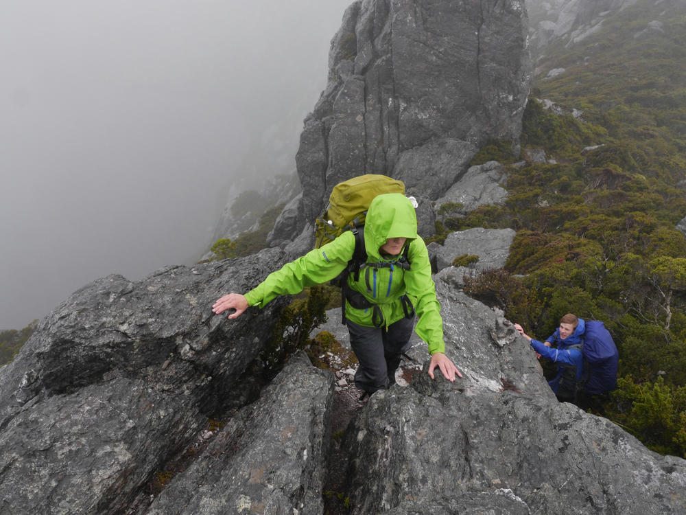
Day 5: The sun was peeking through the clouds, and in good spirits we launched up Moraine A, and gained the main ridge line of the range. By the side of the track there are a number of beautiful looking little peaks, Bryce, Evie and myself decided to climb one while Mum took a break. This involved some exciting exposed rock scrambling, and our descent took us through some vertical bush climbing!
We passed Square Lake, and managed to find the cave my father had sheltered in all those years ago! I sincerely hope he makes it back there sometime.
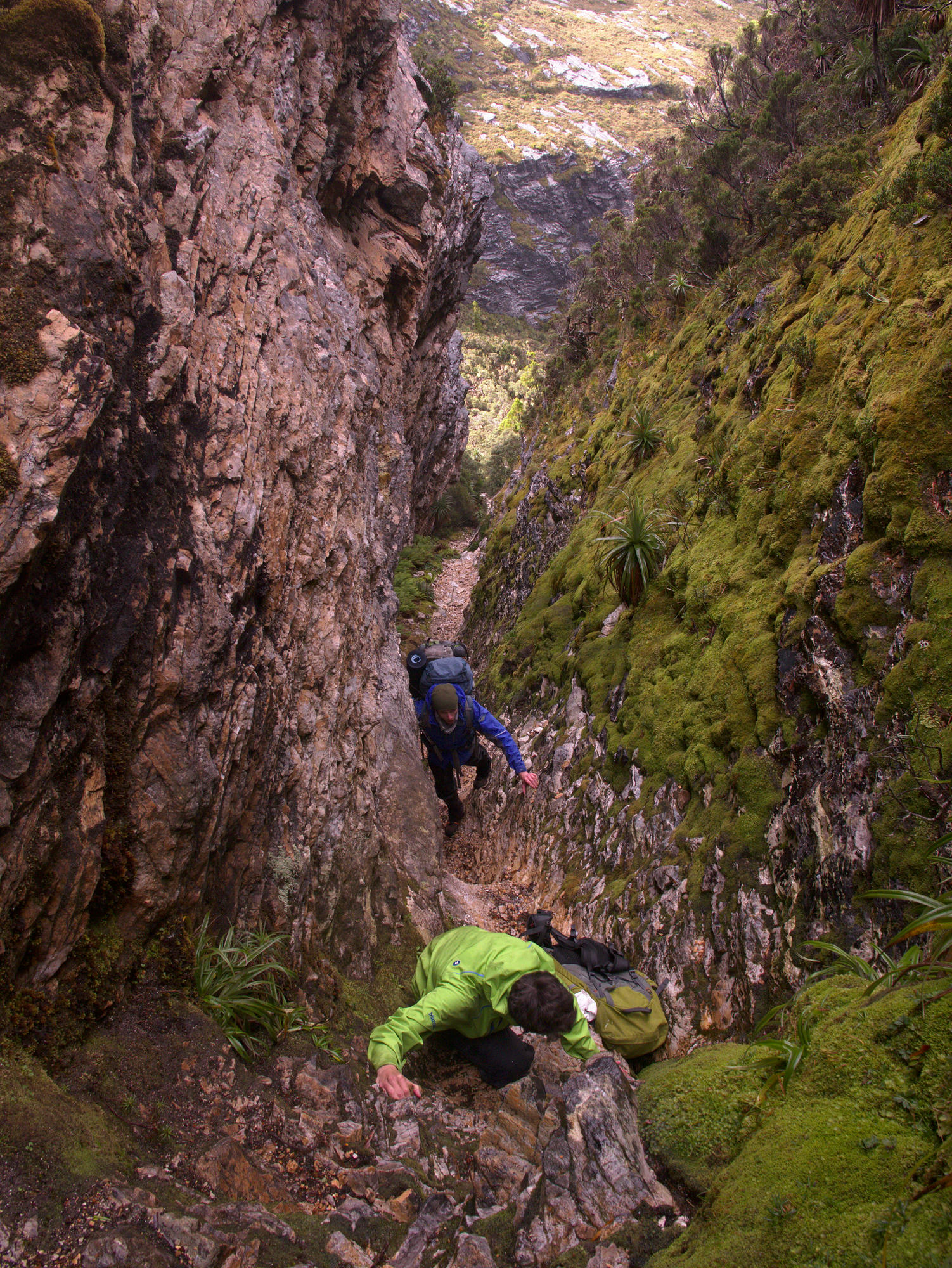
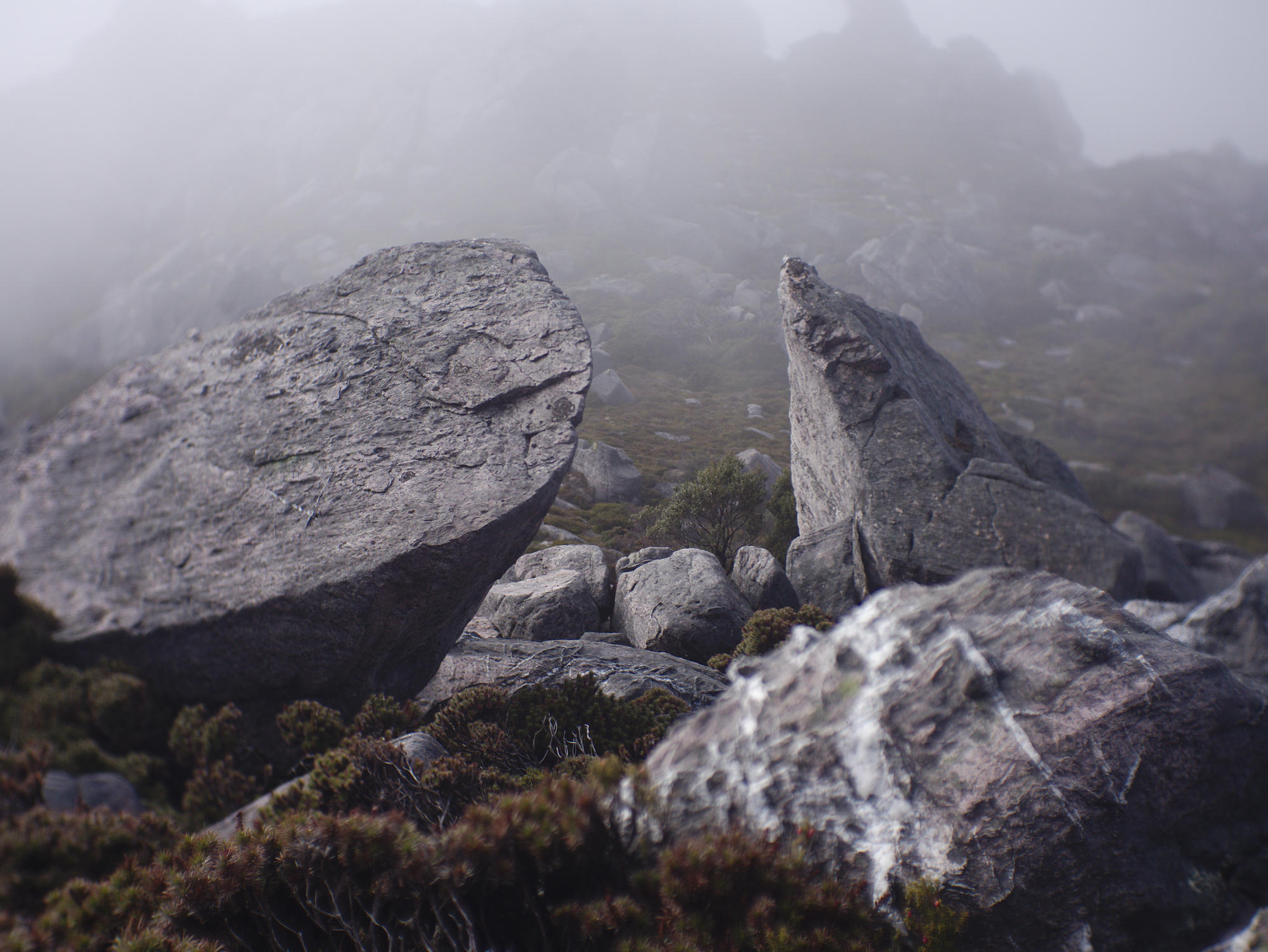
Descending to Lake Oberon, you pass through a steep gulley, it was very wet from the immense amount of rain the day before, and we had to be very careful not to slip. It would be easy to break a leg or worse on this terrain.
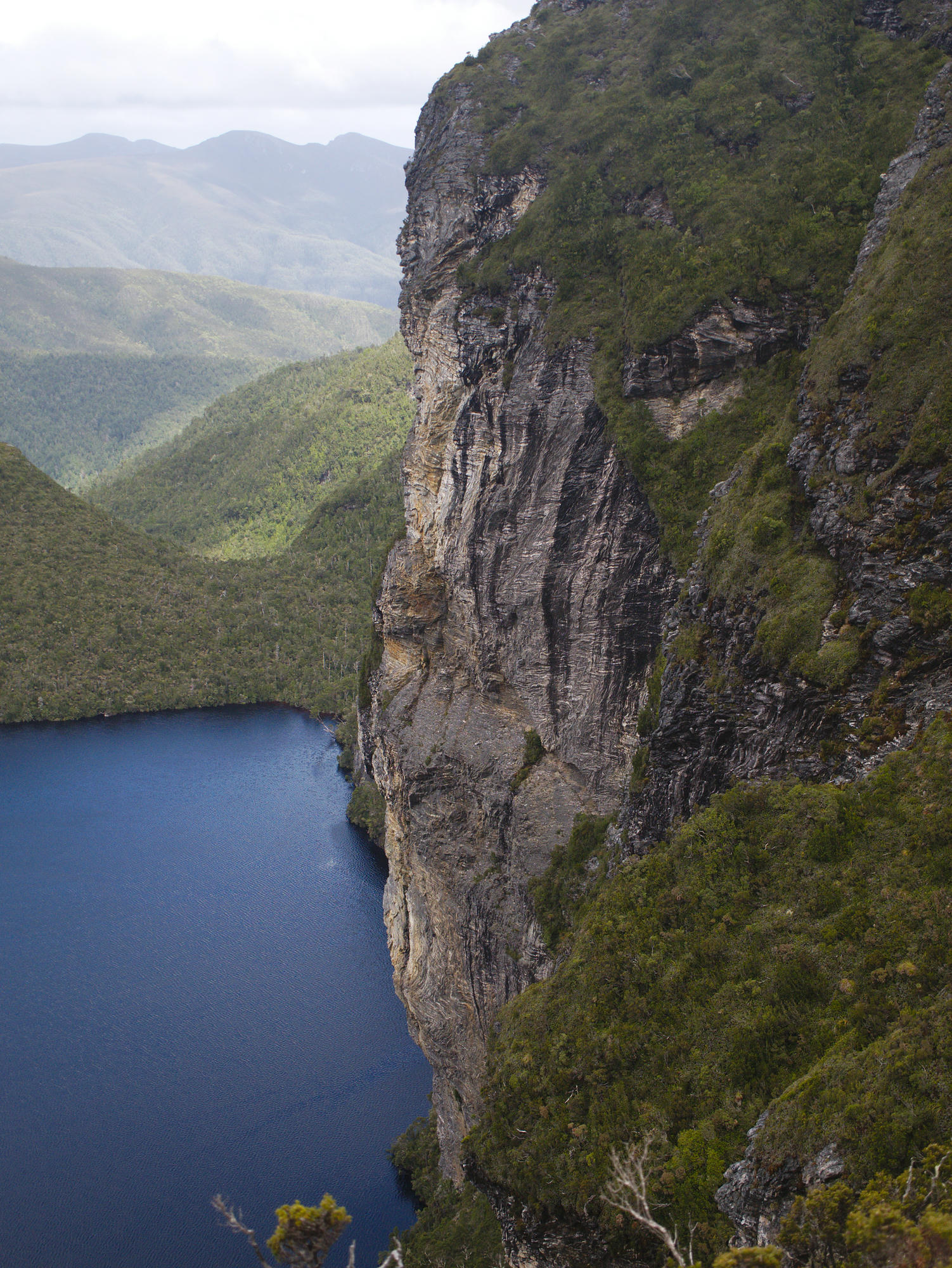
Upon reaching some boardwalk, the view of the lake opens up, and it is indeed incredible, even the most beautiful photos cannot do it justice.

Day 6: It was drizzling, spirits were low, this was the point (in terms of food supplies) where we needed to decide whether we would commit to finishing the Western Athurs or return the way we had come. I argued, that while it was wet, this was to be expected, and that at least it wasn't windy today. After some debate the group decided to proceed, and we packed up our wet tents and climbed the rocky escarpment by the lake.
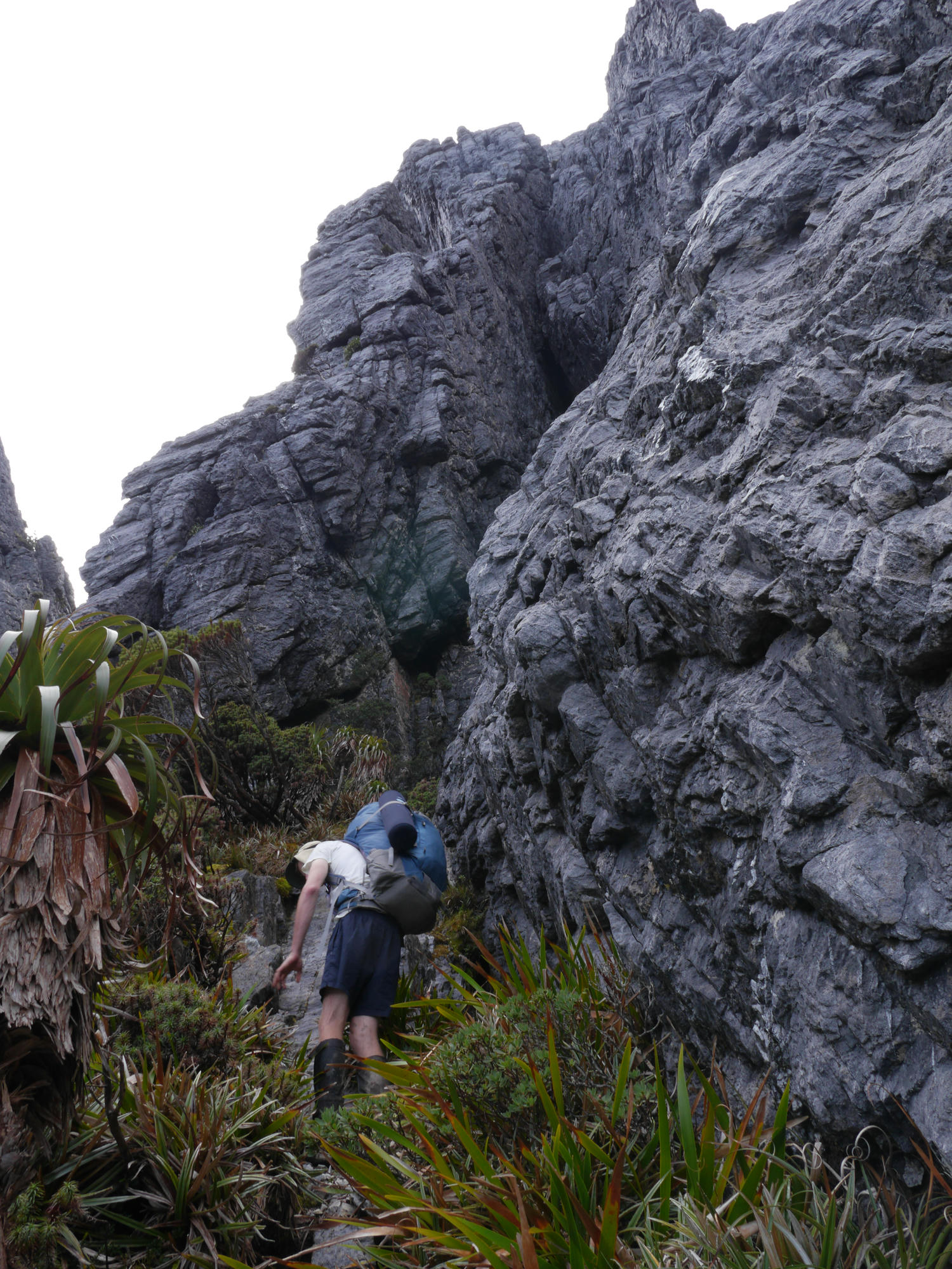
Near the top of this climb there is a small cave you pass through to reach the ridgetop. We took our packs off and passed them through. This was the moment when I realised this would be perhaps the most memorable trip so far, the heart was pumping, it was exciting!
At some point in the Athurs, you stop trying to avoid puddles, and start stepping right into them with joy, as they provide the best footholds. Your feet are absolutely soaked, and I ended up with mild trenchfoot.
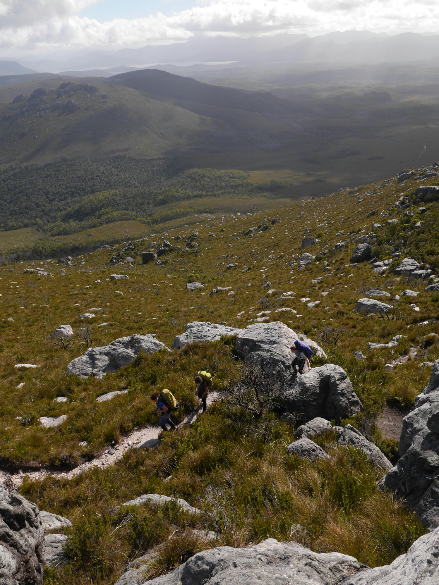
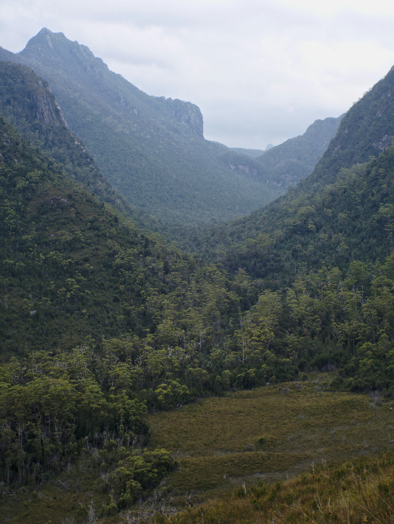
Climbing down steep gulleys and traversing slopes above beautiful alpine lakes cloaked in mist, we reached High Moor Camp. The kilometers we covered in that day were disturbingly low, and give some insight into the difficulty of the track.
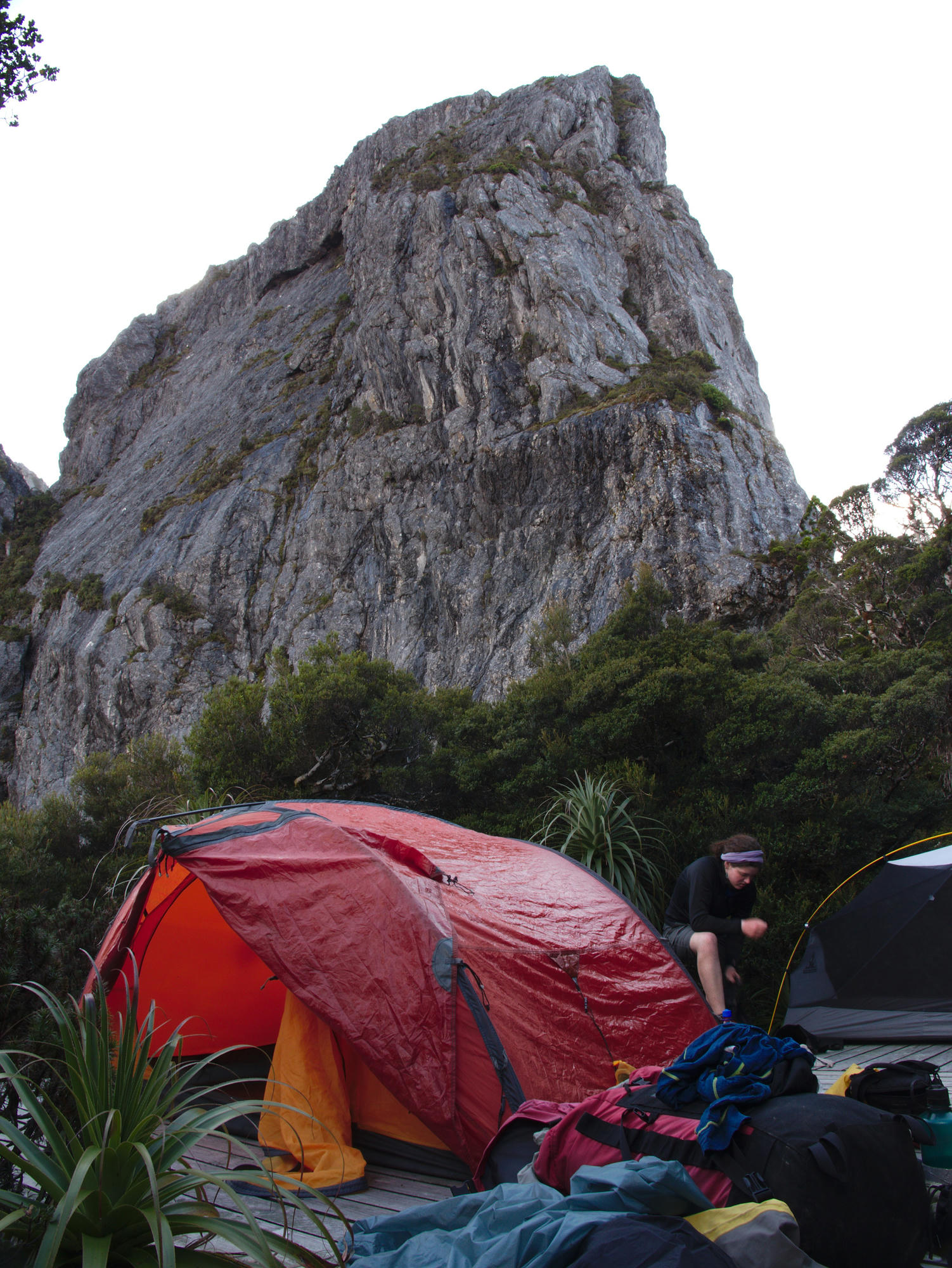
High Moor Camp consists of tent platforms over a bog. Off the sides the ground was extremely wet, and I wouldn't want to be there on an evening where the tent platforms were all occupied.
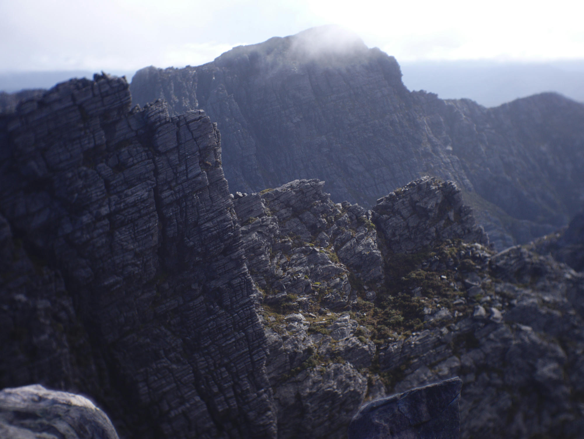
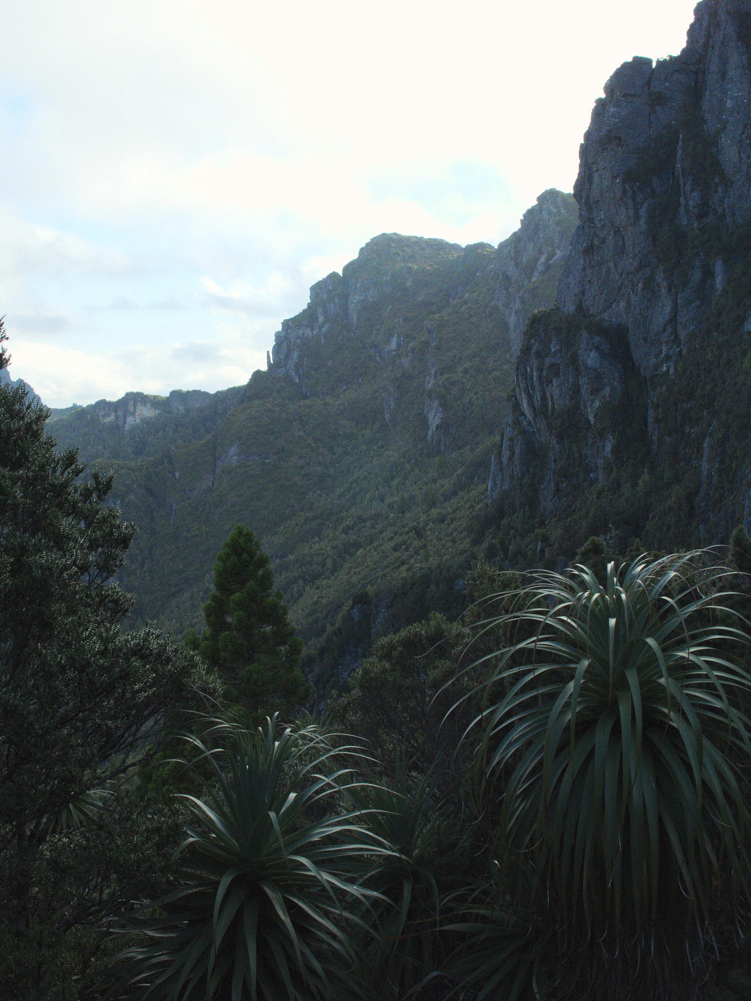
Day 7: The drizzle started to clear a little, and we climbed up the hill and down into the famous Tilted Chasm. Lake Mimas, and the giant cliffs above Lake Ganymede provided jaw dropping views. After a challenging day we were spread apart as we one by one trudged into camp at Haven Lake.
That evening Bryce decided to crack open the beans he had been rehydrating during the day. Unfortunately this rendered him very sick, perhaps they hadn't rehydrated properly yet! There was much puking out the side of the tent.

Day 8: Fortunately Bryce had recovered in the morning. On the descent towards Lake Sirona, Evie threw her backpack down a short downclimb, only to have it roll over and bounce down the gulley, narrowly missing Bryce and into the lake! Fortunately her sleeping bag was dry!
The improving weather had us in good spirits, and we decideded to take the turn-off from Moraine K, to Promontory Lake in order to complete the Western Athurs.
Day 9: Finally, after more than a week of grey skies and drizzle, we had a blue sky sunrise! Time was short so we passed by West Portal without climbing it.
Somehow Mum's Telstra sim/phone wasn't working, but I managed to find some Vodafone reception here, send a message and get an updated weather forecast!
We walked beneath the spectacular cliffs on our way to Lake Anne. There was still some energy in our legs and our stomaches were grumbling, yearning for the food drop, so we opted not to camp at Lake Anne, and instead pushed on down to the valley floor where our food awaited us. We lost the track and spent several hours fighting the scrub, only to retreat and find some higher ground to camp on. One or two of our group may have broken down a little at this point, it was quite a depressing evening.
Eastern Athurs
Day 10: In the morning we finally got a view of the scrub we were trying to penetrate, and found a better way to the East where the foothills intersected the track. Bryce and I ran on down to our food drop, and discovered it hanging there intact. We were all extremely excited to have more food!
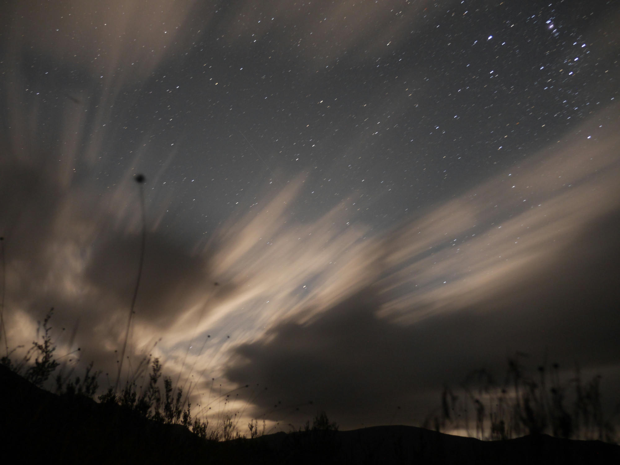
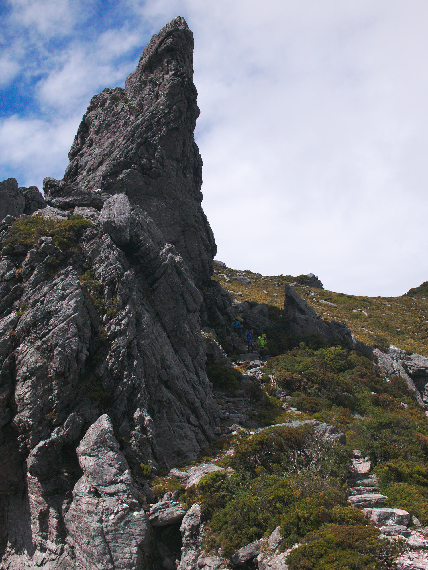
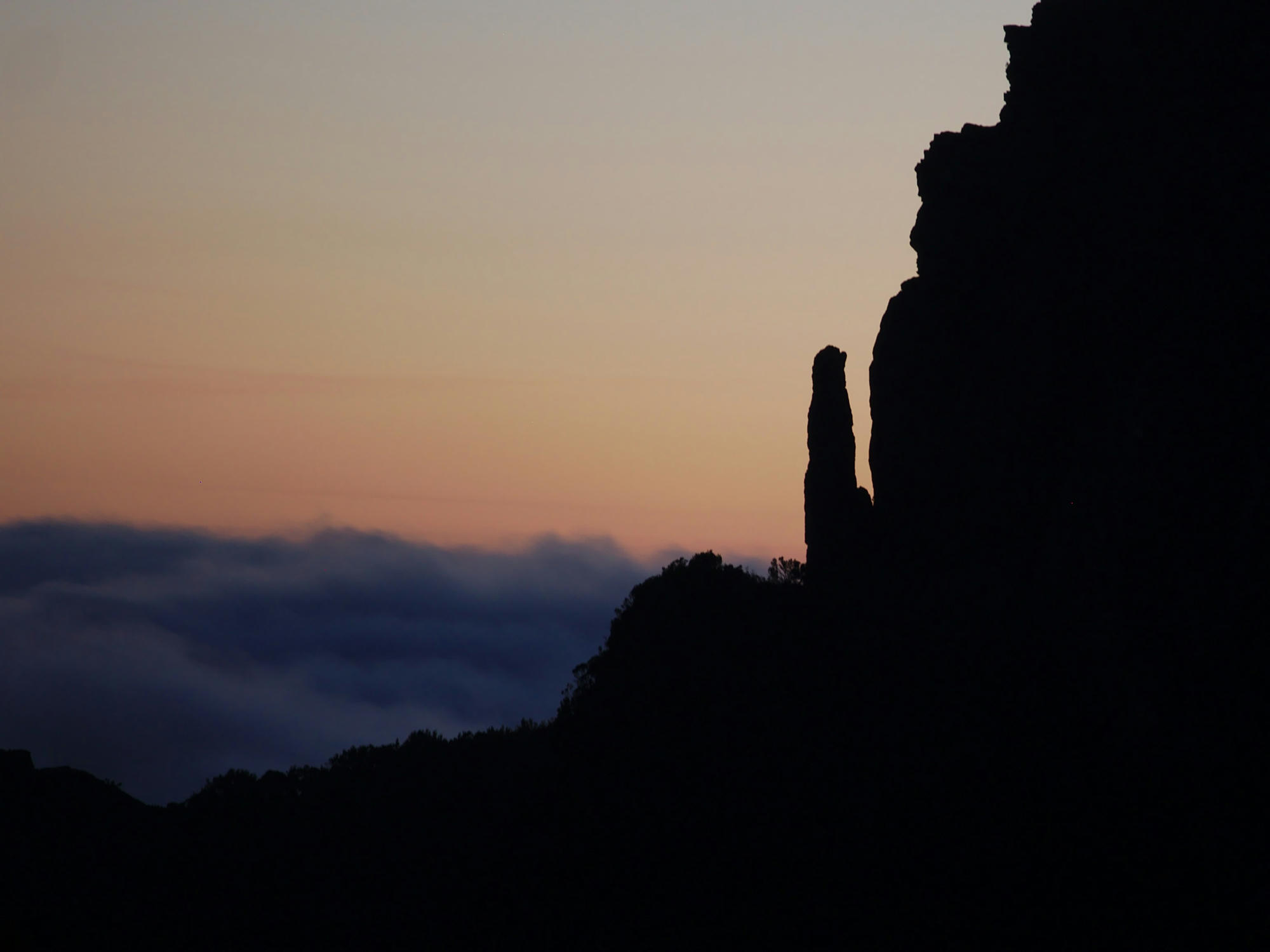
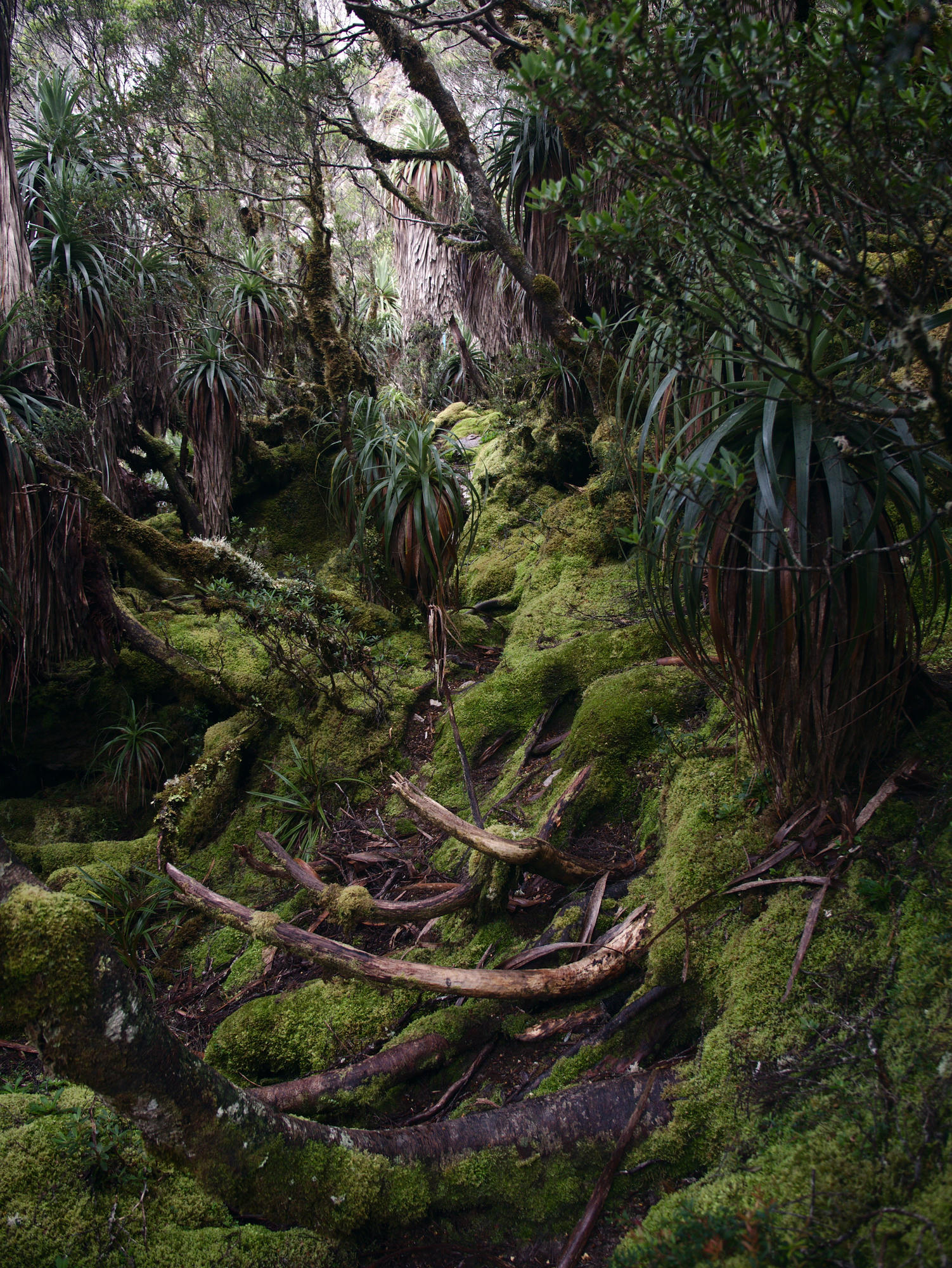
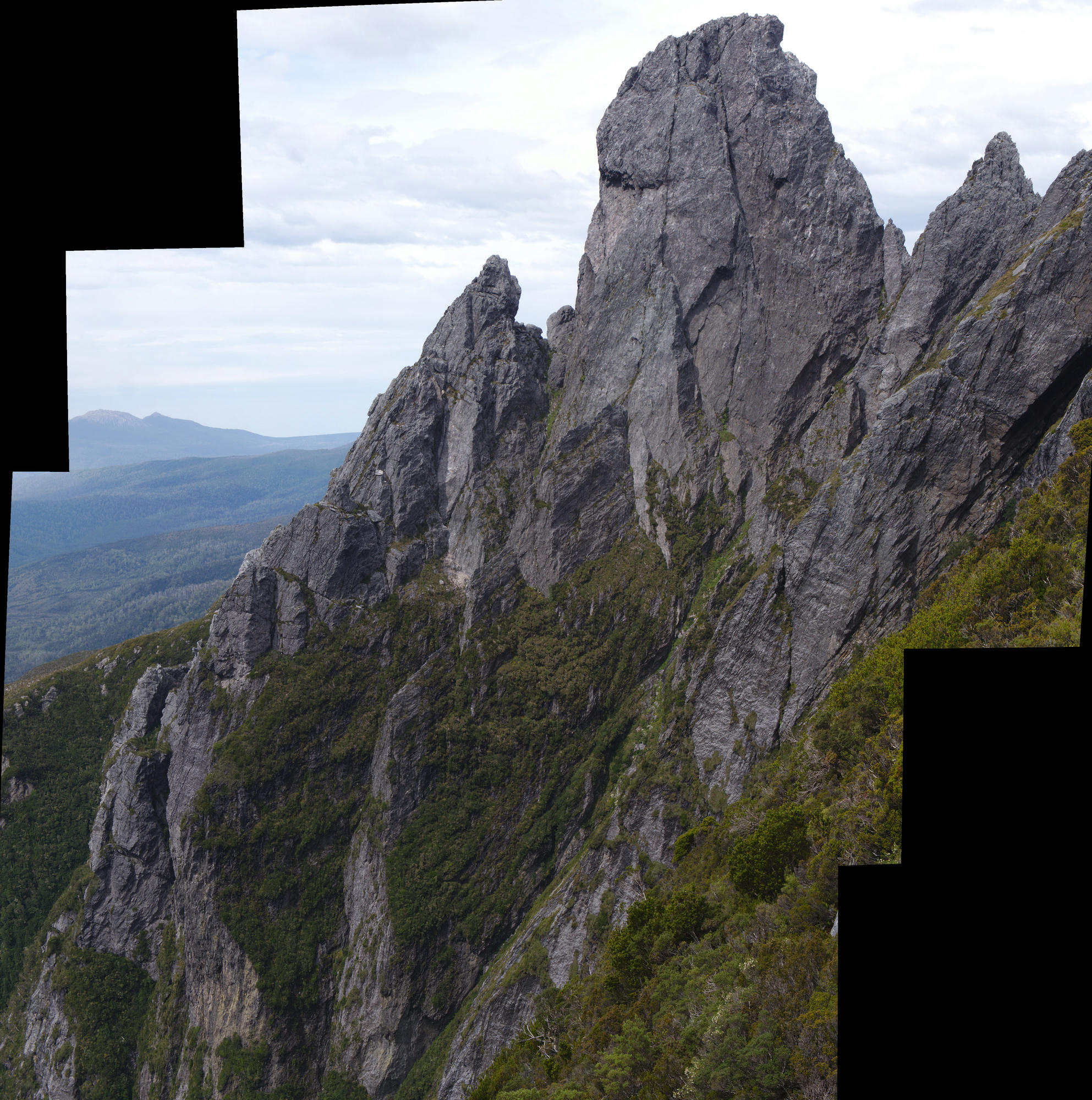
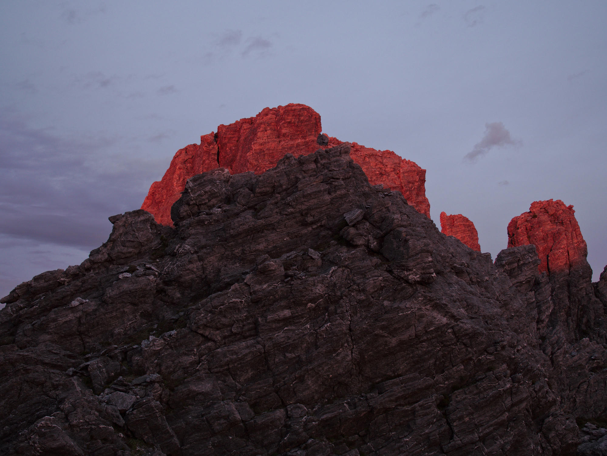
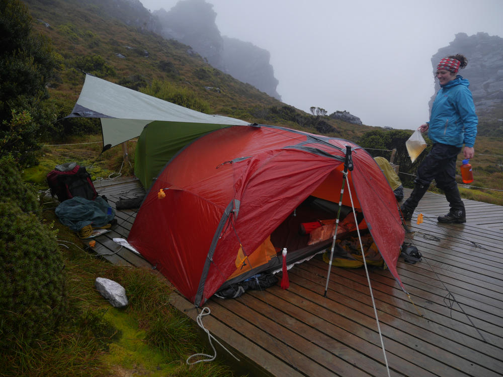
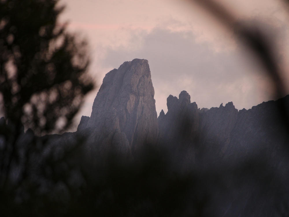
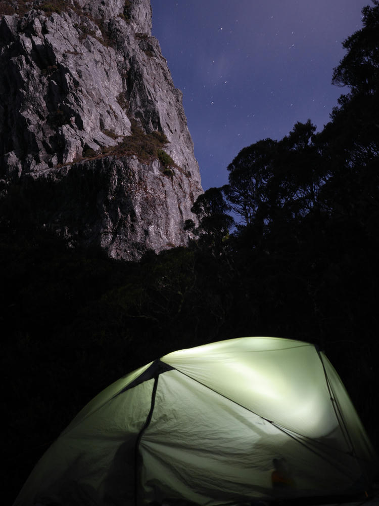
After refuelling, we started the climb up Luckmans Lead, into the Eastern Athurs. This portion of track is extremely impressive, as it ascends through a vertical wall of impenetrable scrub. I find difficult to fathom how hard it would have been for the first people to pass through here! We were the only campers at Stuart Saddle that night, and after dinner I took a walk up the ridge to get a view of Federation Peak and to take some night photos.
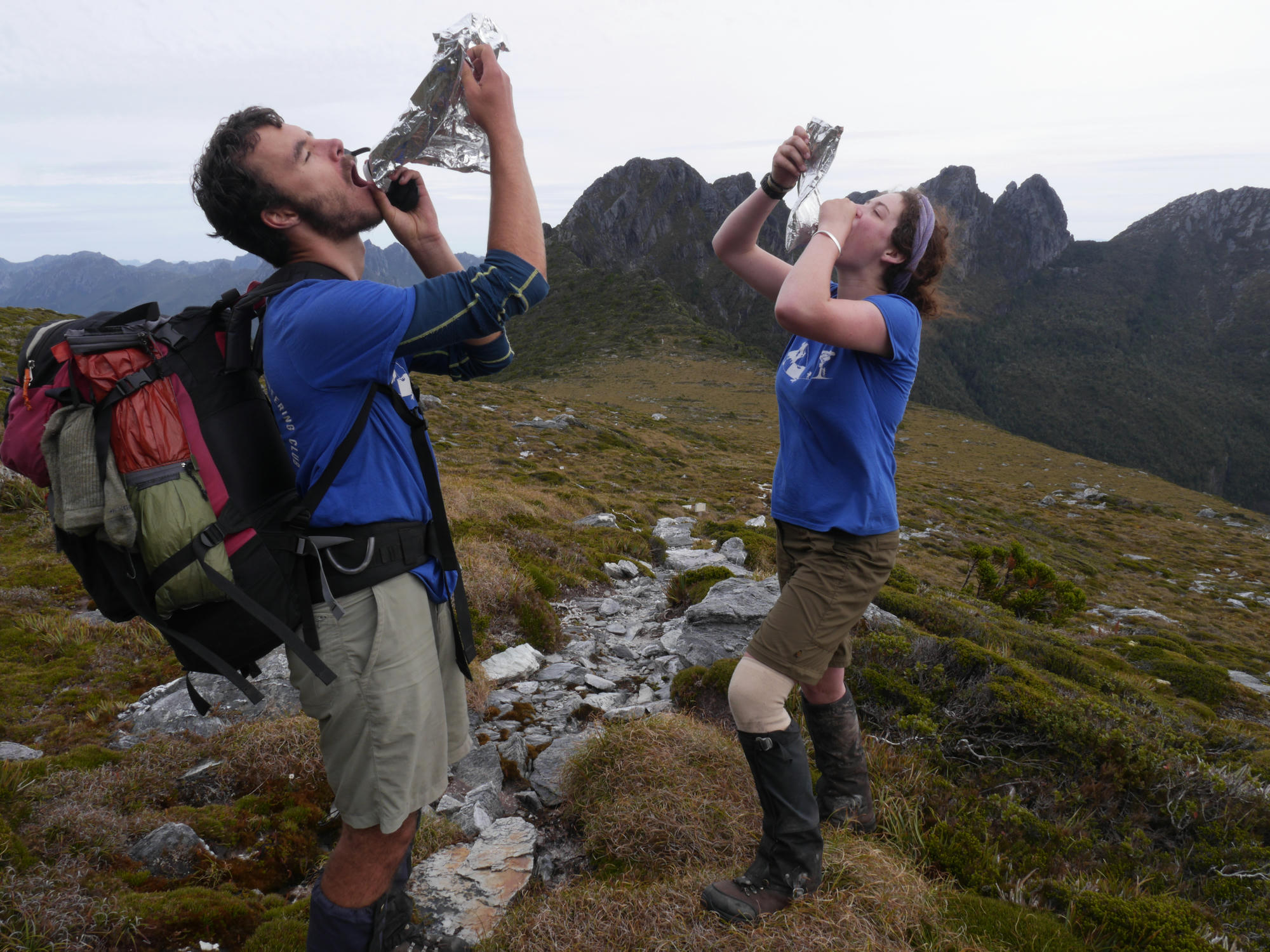
Day 11: We were blessed once again by the weather gods! Evie and I took a photo drinking from goon bags (filled with water) at Goon Moor, and we continued traversing the Eastern Athurs. The track here involves stepping on the stems many Pandanas trees and slippery roots of bushes.

We reached Hanging Lake maybe 2-3 hours before sunset. I was looking at the weather forecast, and it seemed very likely that another set of bad weather would reach us the next morning, so we decided, in spite of our tired legs, to make an attempt on Federation Peak while the weather was still good. While climbing up, we stopped following the cairns, and started following footprints, in the wrong direction. At one point I was pulling some rock climbing moves which felt about grade 14, with huge exposure over Lake Greeves. I looked down to Bryce and Evie and said "This is free solo rock climbing! I think we must be going the wrong way".
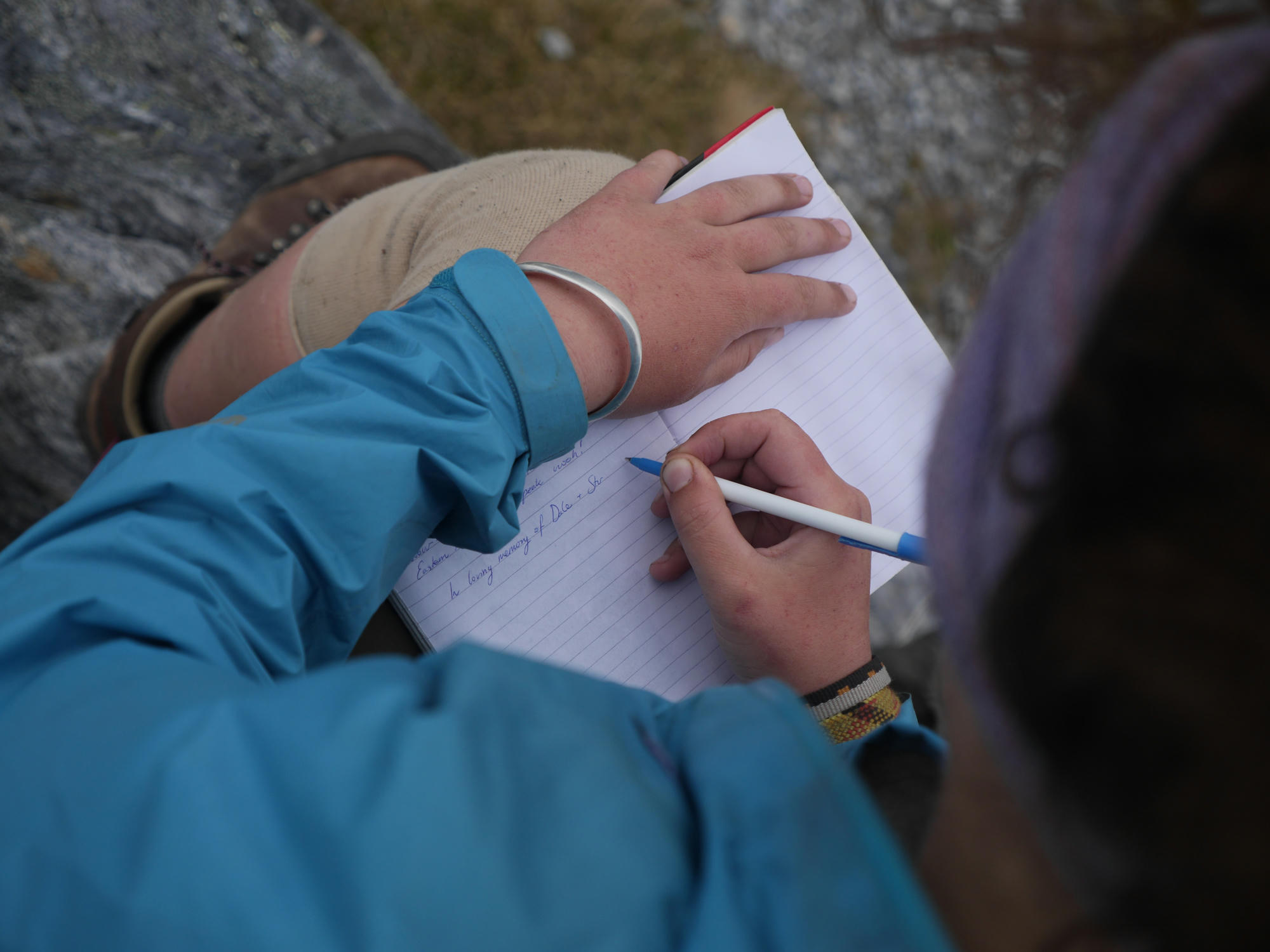
So we gingerly retreated, and managed to find the correct route up to the summit. It was satisfying to put our name in the book, and then admire the beautiful sunset as we ambled back down to the tents. I'm a little sad I didn't get to see Hanging Lake properly, but that's for next time!
The Return
Day 12: In the morning the weather had taken a turn for the worse, and rain was clearly on the way. We once again repeated our steps to below Federation Peak, this time with hiking backpacks it was more challenging. We passed under the chockstone mentioned in the guidebook, and were looking for what was described as an "improbable" route out of the gulley. We stood for a while looking at a steep opening and decided it looked too improbable, and continued down the gulley. At this point I wasn't sure we were going the right way, and I made the mistake of looking at the GPS, which appeared to have us on the track, but I should have realised that it would be very innaccurate with us deep inside a slot.
At the bottom of the gulley, another cairn lured us on, and we began to climb a waterfall, knowing that we had taken a wrong turn, but thinking that there might be some alternative route towards Bechervaise Plateau. We were wrong! We ended up retracing our route all the way back up to the original "improbable" wall, and climbing it to put us back on the right track. We had been hoping to get down off the range today with the bad weather arriving the next day, but by the time we stumbled into Berchervaise the rain and wind was setting in, and it was obvious that we couldn't continue.
The weather was atrocious, we spent a miserable afternoon in the tents, without much food to keep us entertained. I had completed my 1kg supply of cheese, and with it went my happiness! Mum cheered me up she had saved a backcountry meal for such an occasion.
Day 14: At this point in the trip I had lost the energy for taking photos for several days, but I still had a spark of excitement to see what Moss Ridge would be like. Climbing down this muddy, slippery, steep ridge was crazy. There are some points where you pull yourself hand over hand on tree roots, and other spots where a large beam with a step has been left leaning crazily for you to downclimb.
We reached the treeline, and the forest, and began crawling under dense and slippery trees. While we were eating our meagre lunch I bumped my head on one, and punched it, I lost my cool here for a minute! We did however manage to reach Forest/South Cracroft Camp. For the first time in two weeks I took a bath in the river, it felt amazing. The mosquitoes afterwards did not feel amazing!
Day 15: Climbing up and over the last remaining hill, we meandered along the river, and over the bridge to the finish line. Evie's Mum was expecting to pick us up on this evening, without cell phone reception and without food, we hoped everything was going according to plan! We set up tents at the road end, and took respite from the leeches and the drizzle.

The sound of a car arriving we unzipped our tents, and Evie's mum was a most welcome sight!!
We were starving and I think we may have eaten Fish and Chips or something similar on the way home. Evie's mum, a vet, assisted in the removal of some our ticks.
Mum's Blog Post
My mum, Jane, wrote a blog post about this trip too! You can read it here: Jumbuck Jane: Western and Eastern Arthurs traverse, February 2016
Video
I made a short video while on this adventure, available on YouTube: