With the Christmas/New Year period shutdown at work, there was a scramble to find something interesting to do. Luckily some good friends were already off to Tasmania to go hiking, and had a spare spot in their car. A few days before leaving we decided on doing the Frenchman's Cap walk due to the uncertainty of road access in other areas of Tasmania from flooding and damage.
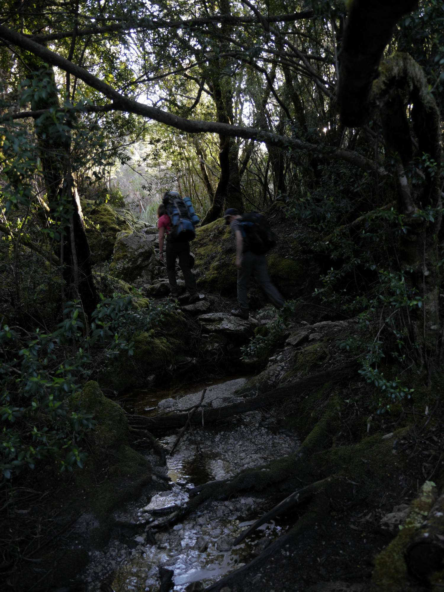
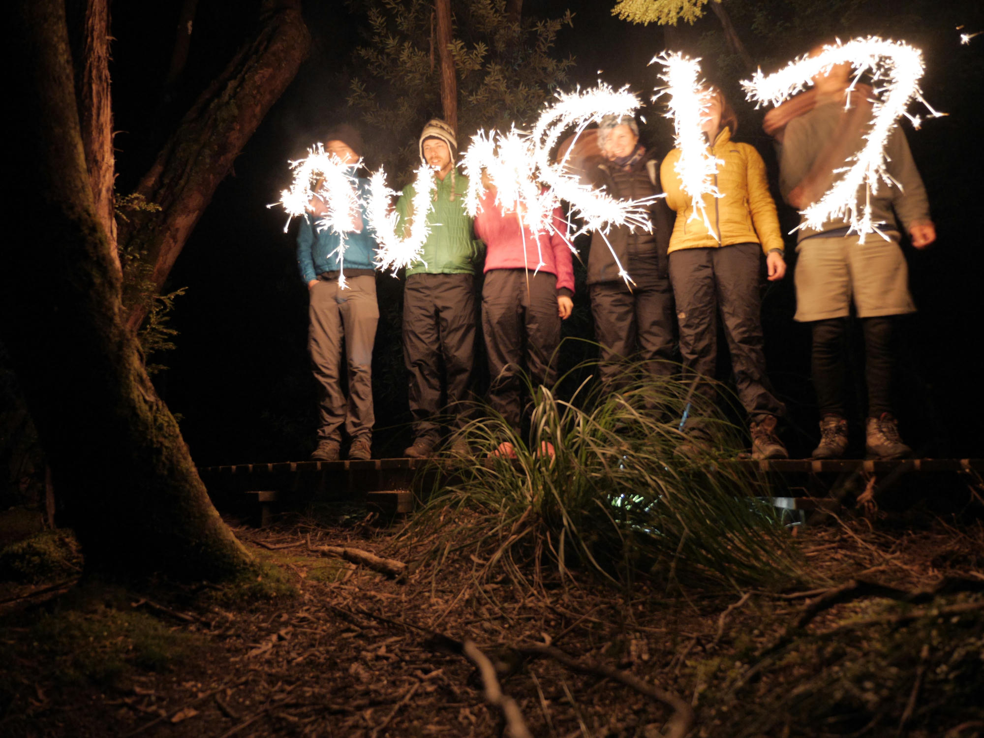
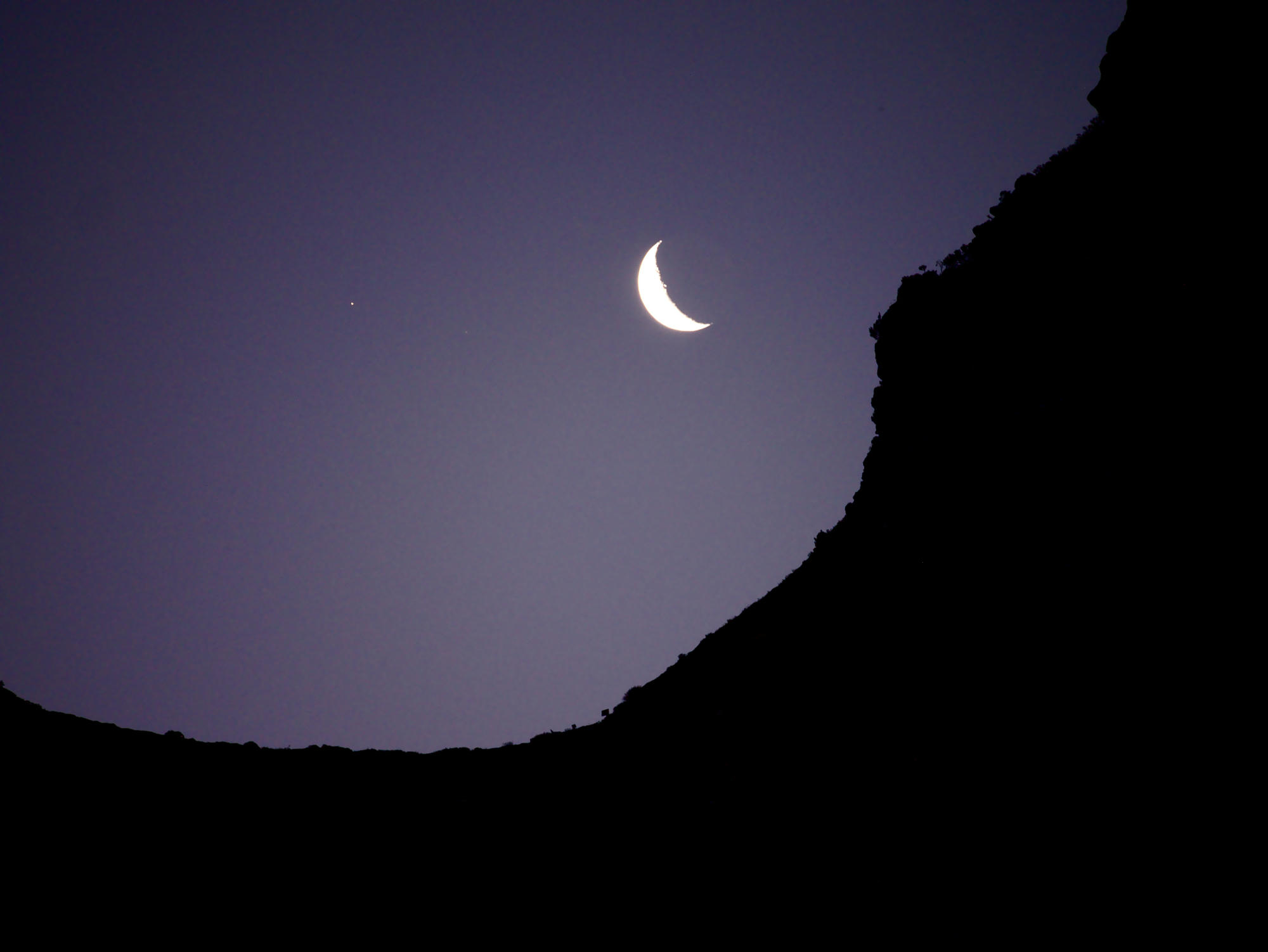
So, on the last day of December 2016 we walked in on the first section of the Frenchman's cap walk, keeping an eye out for any camp site which could give a view of the southern sky, for there was araura activity forecast for that night.
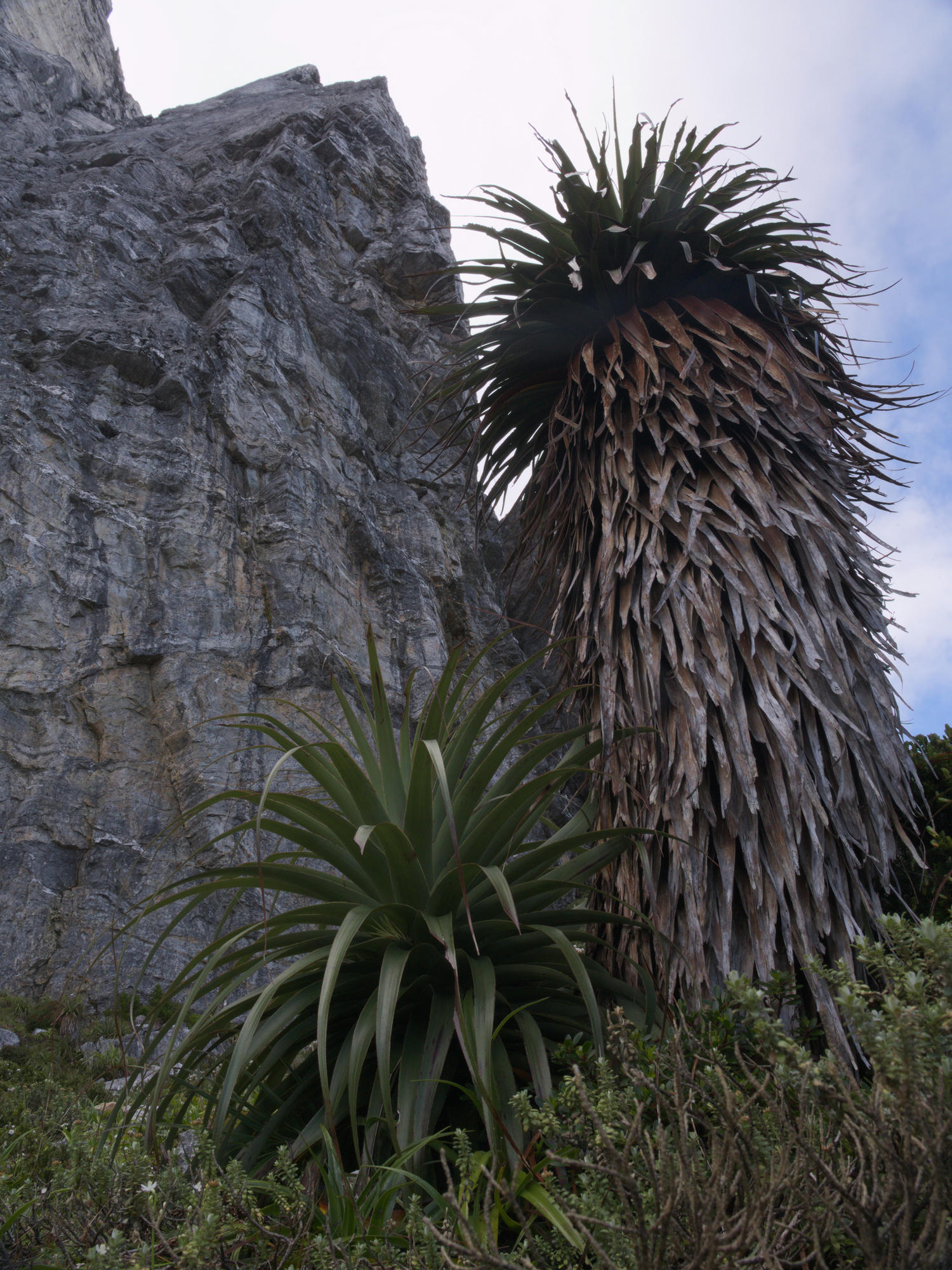
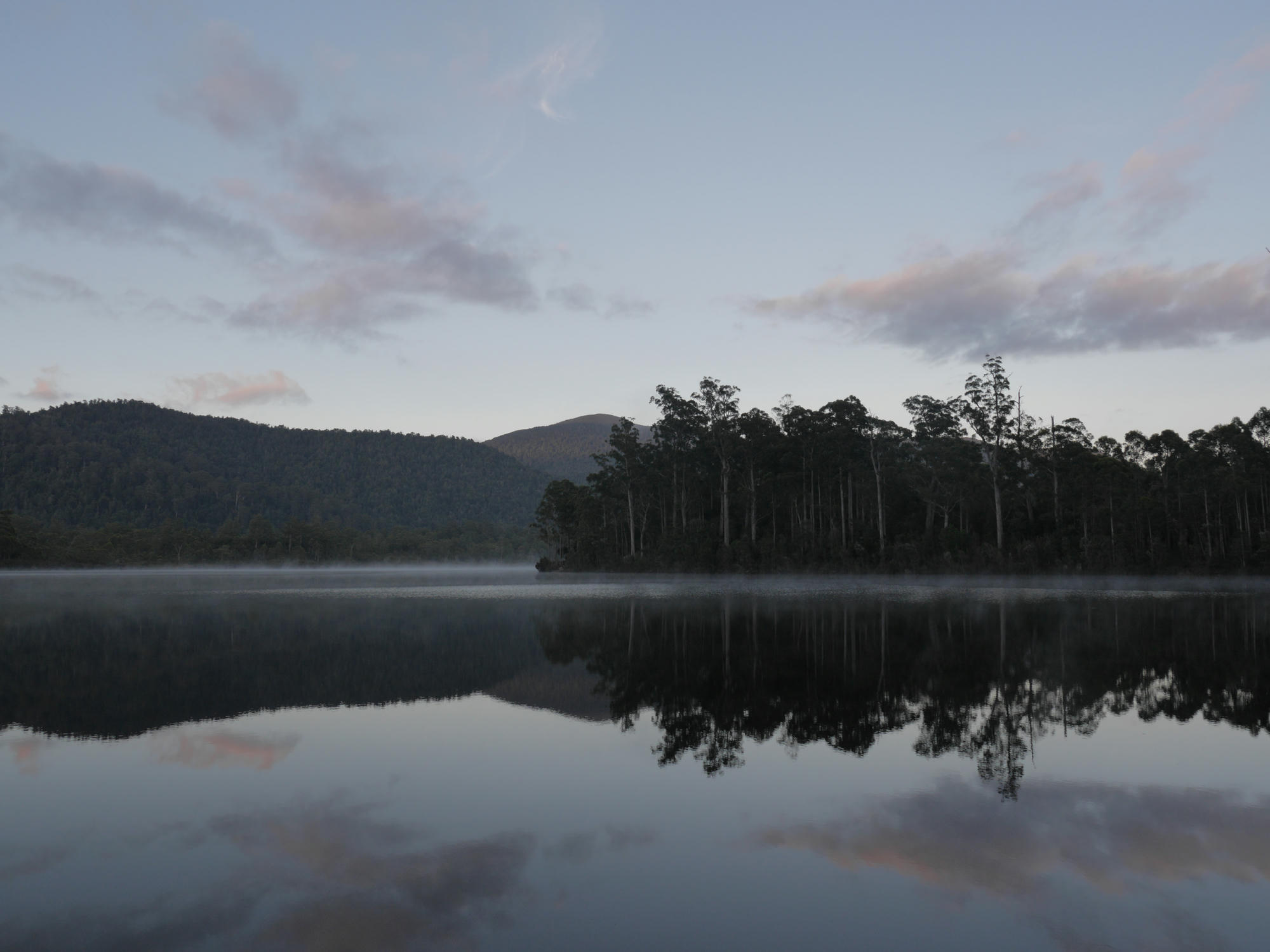
Exploration around the top of the first hill led to an area was far from flat, filled with large tussocks, so we pressed down on into the valley. Eventually I found some hills which, while a little grassy would have been fairly comfortable, and had a great view. Group decision was to continue down to the marked camp site next to the Loddon River. I was a little disapointed, but as the sky grew overcast, perhaps it wasn't such a bad option.
In proper MUMC style, we had carried in a fair amount of celebratory and luxurious foods (by bushwalking standards!). Luckily, we had Dan who was heading back out the next day, to carry the rubbish/compost back out for us.
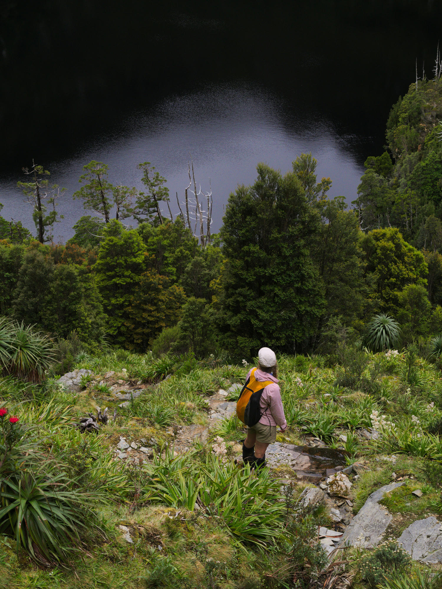
Initially the plan was to follow the route described in John Chapman's book, after reaching Frenchmans, crossing the Franklin river and heading north to meet the road again where we had parked our second car. I also had my eye on a number of the side trips to the wouth of Lake Vera, and around Barron Pass.
This plan was altered throughout the trip, to the point where we ended up having a rather leisurely 5 day trip in and back out of Frenchman's cap, one that could quite easily have been done in 3! I really enjoyed it, but next time would like to go with a slightly more exciteable/crazy crew to do the exposed/scrambly/bush-bashy side trips and complete the loop.
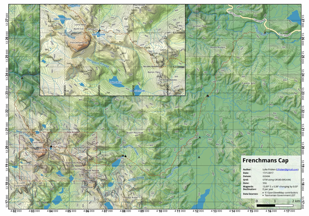
Also made another map for this trip using data from the Tasmanian Government, and OpenStreetMap:
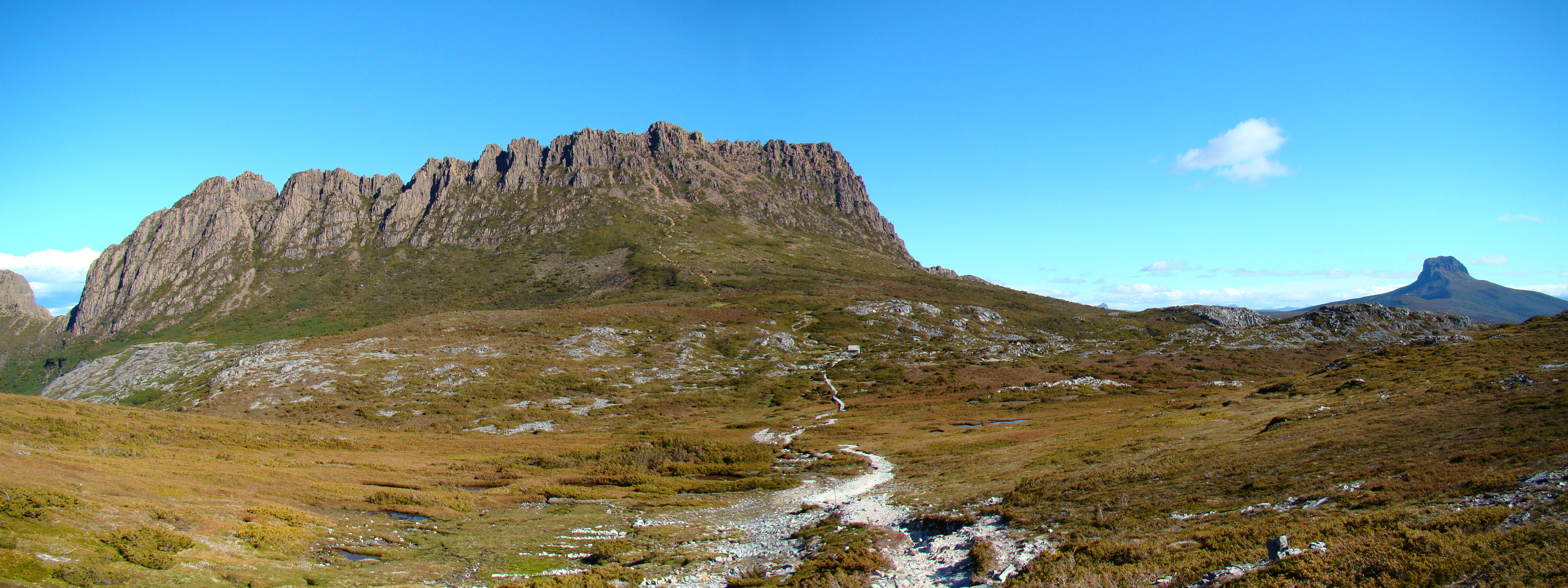
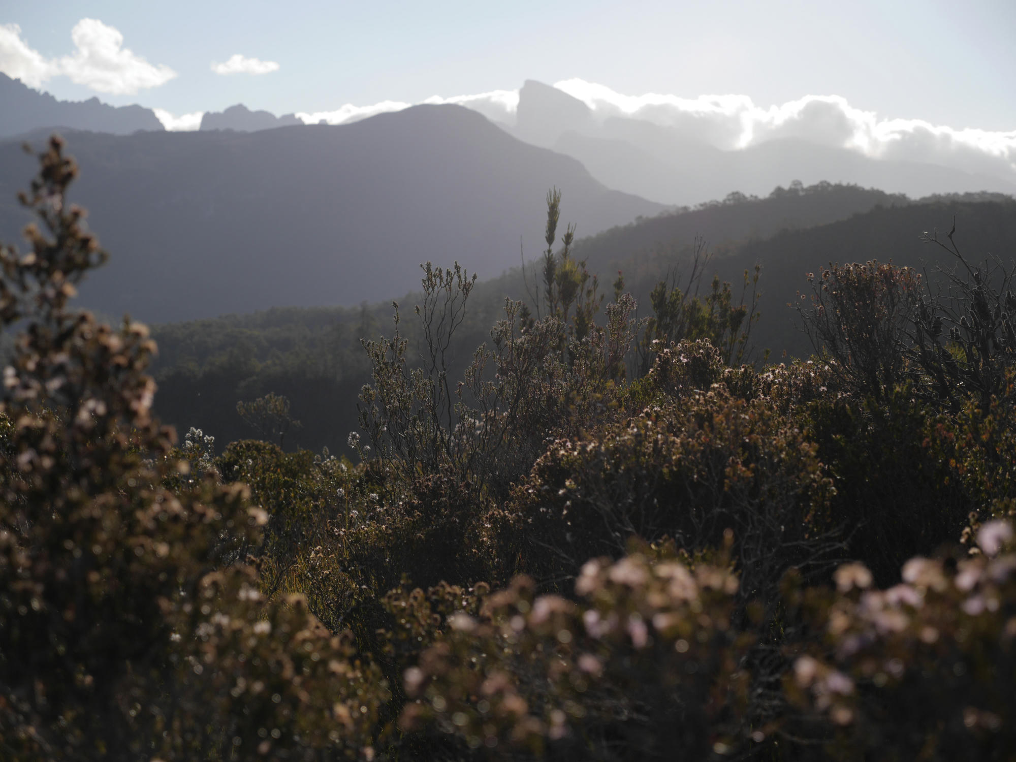
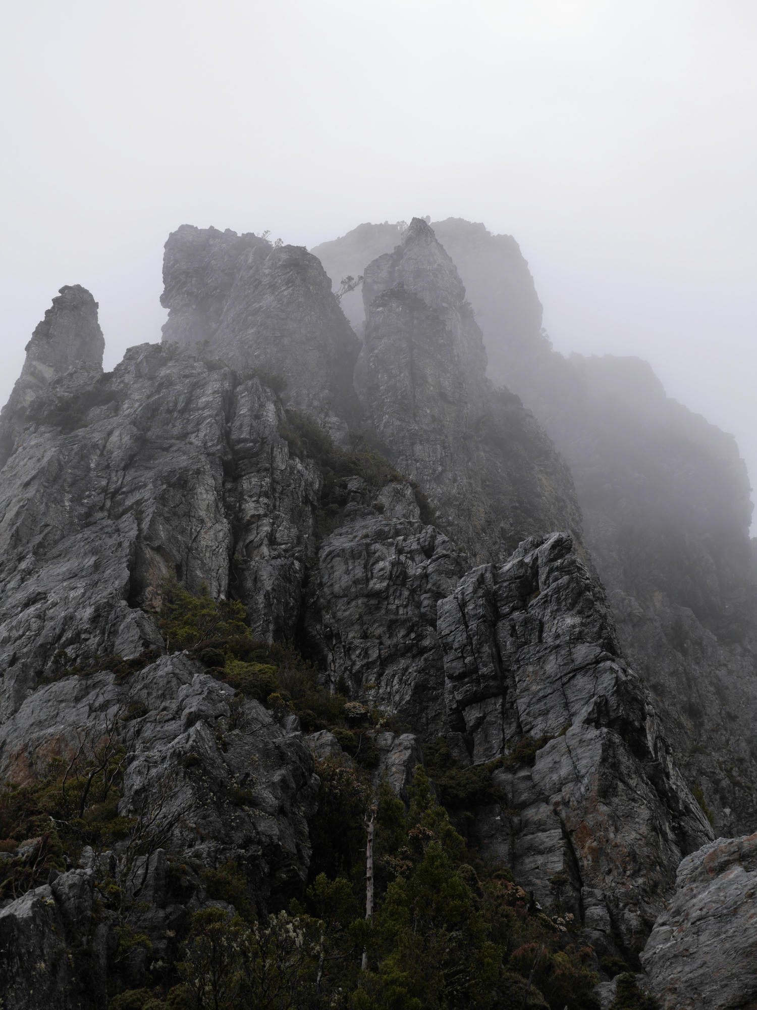
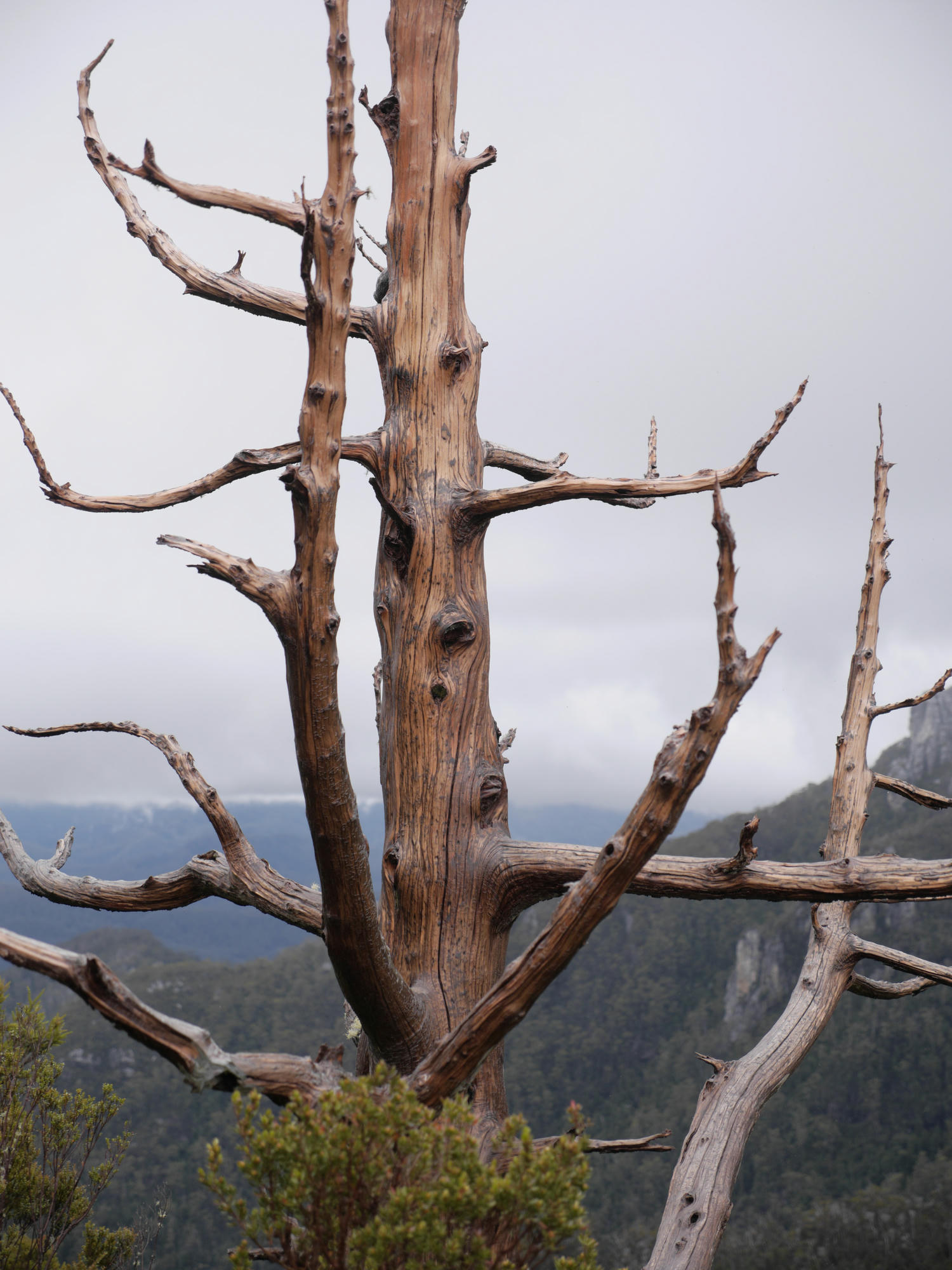
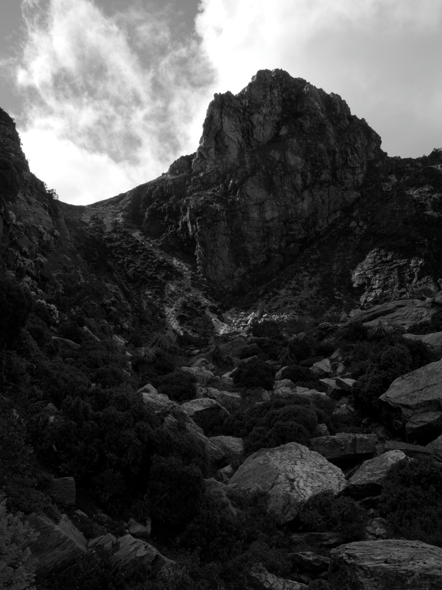
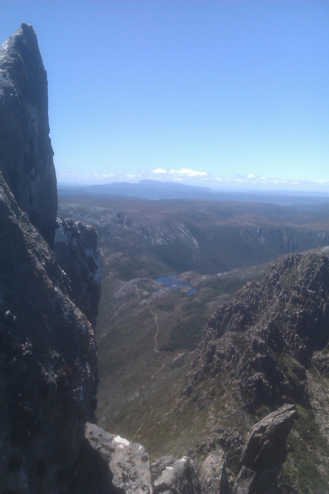
On the way back the Launceston, we stopped by Cradle Mountain for a day. I left the others in search of adventure after spying out the fantastic ridge across the skyline. With no internet to check thesarvo's info on the place, I just decided try a solo traverse of the ridge (from left to right in the photo) and see how it goes.
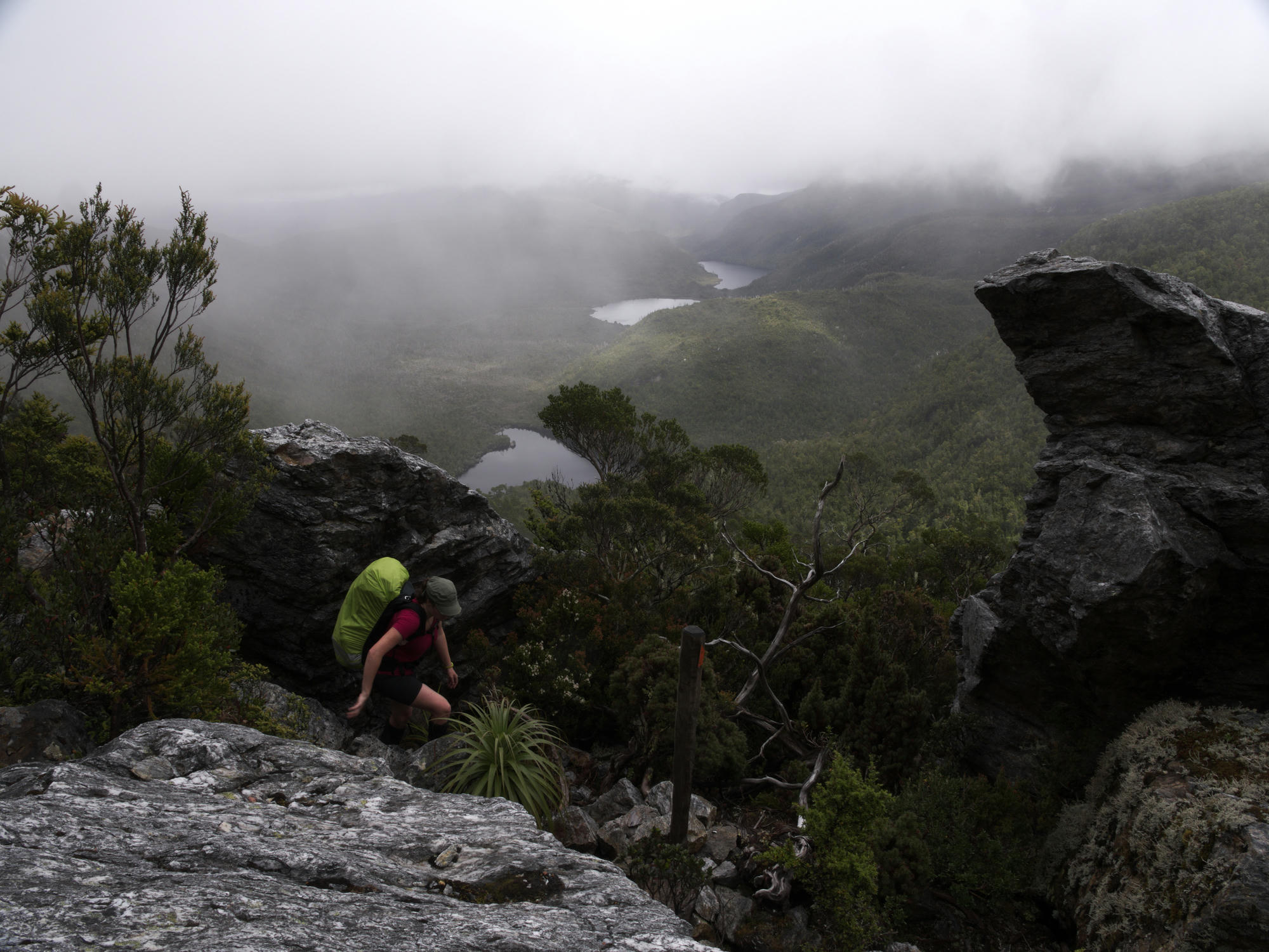
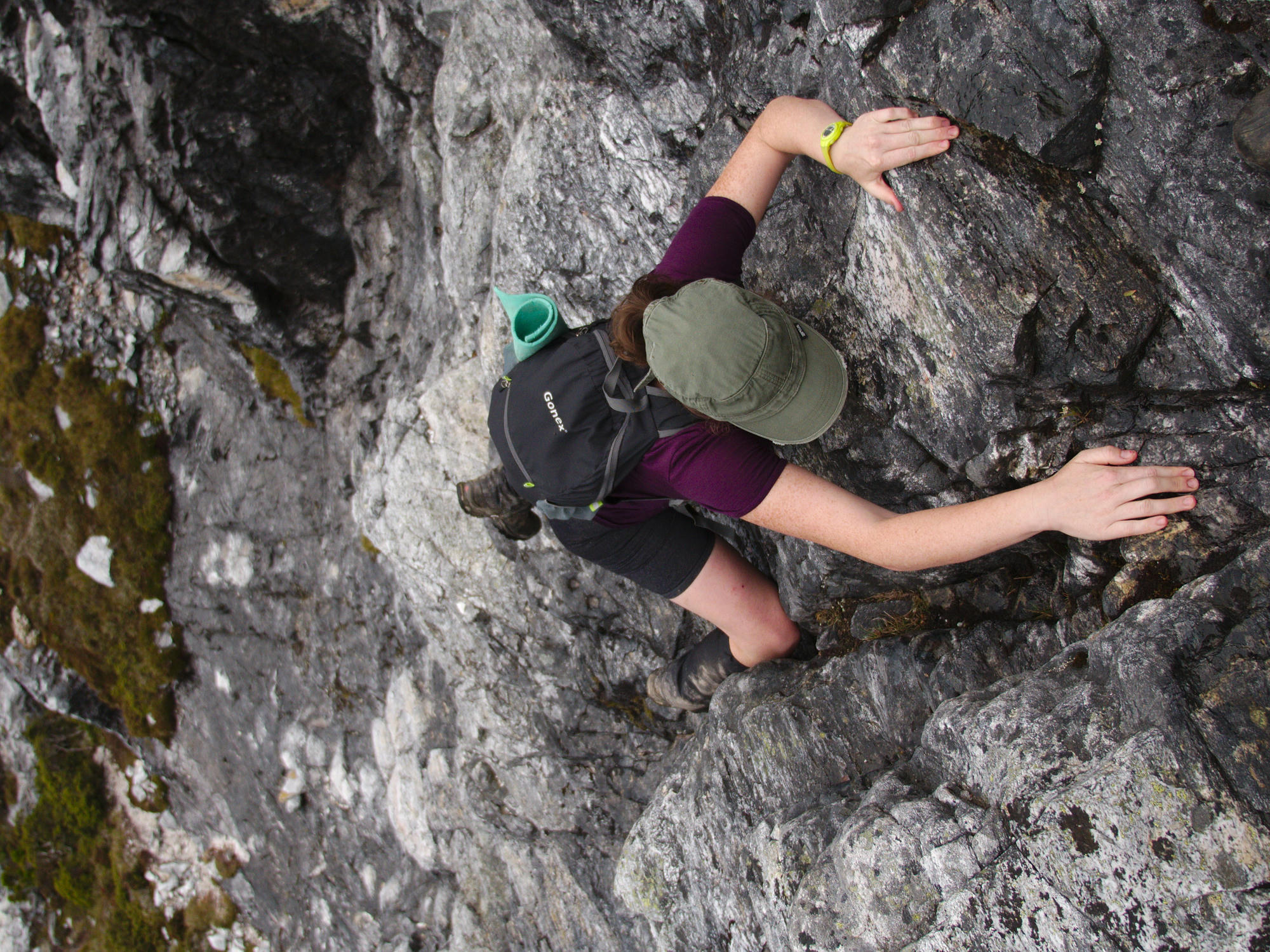
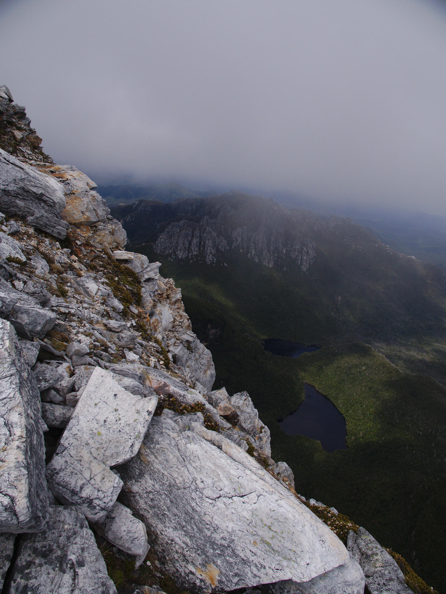
The climbing up there is quite the fun experience, take care of the occasional loose rock, just like any mountain, the views were stunning. There are some awesome little pinnacles to climb on top of, giving you a strong feeling of exposure. Some of the descents would be much easier with ropes, and I opted to back off and traverse around one of the tops guessing it led to a drop at the end after climbing it.
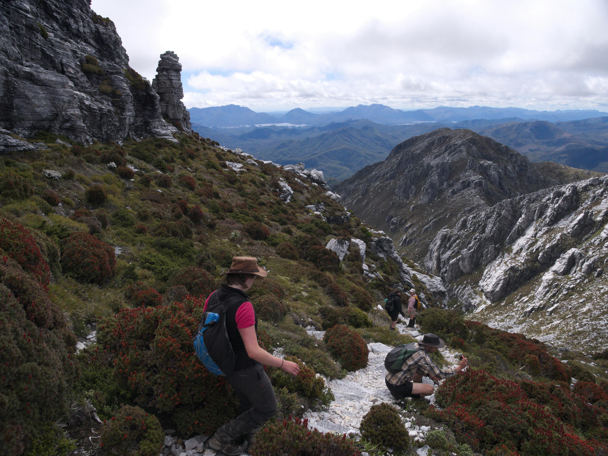
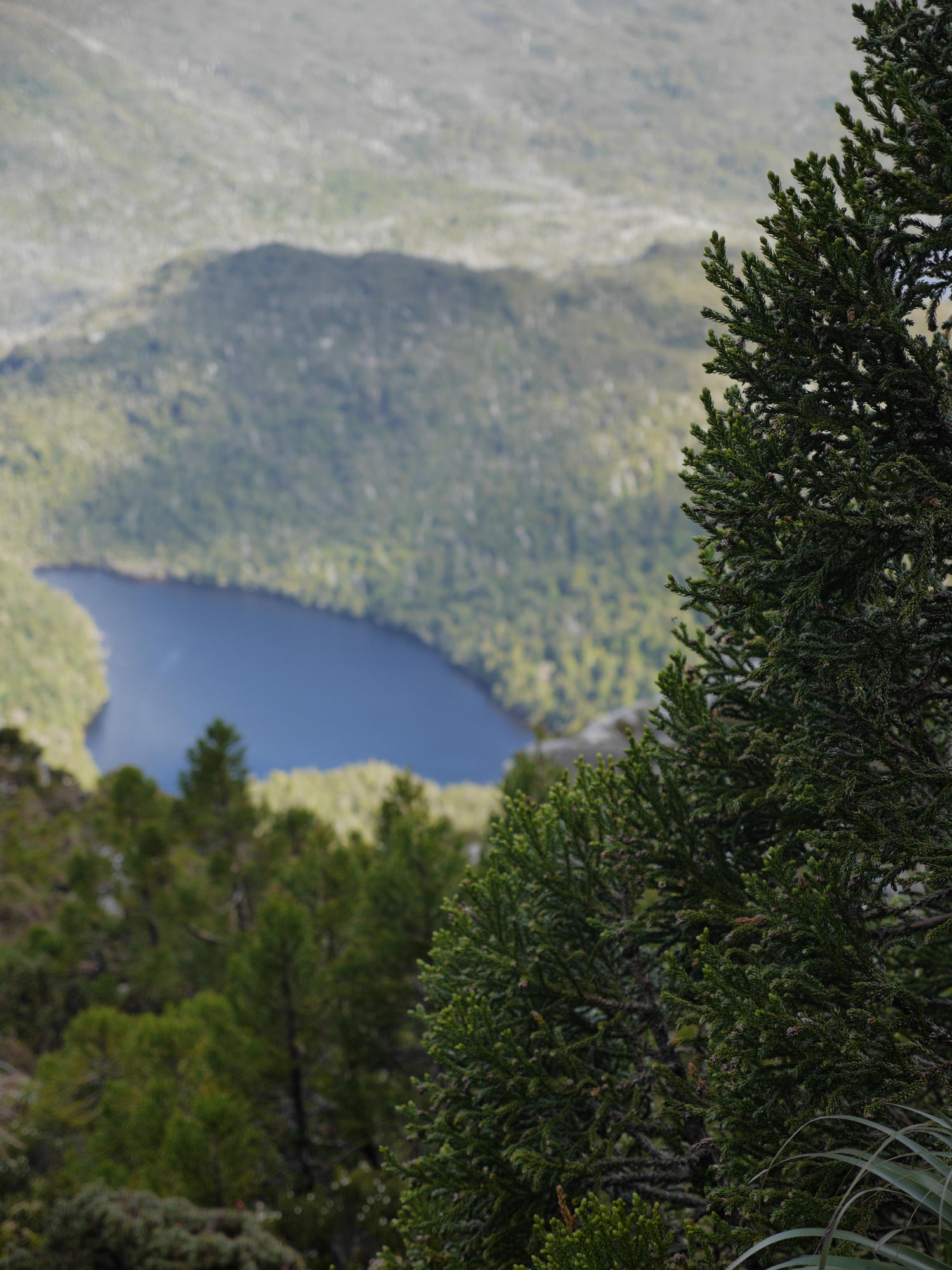
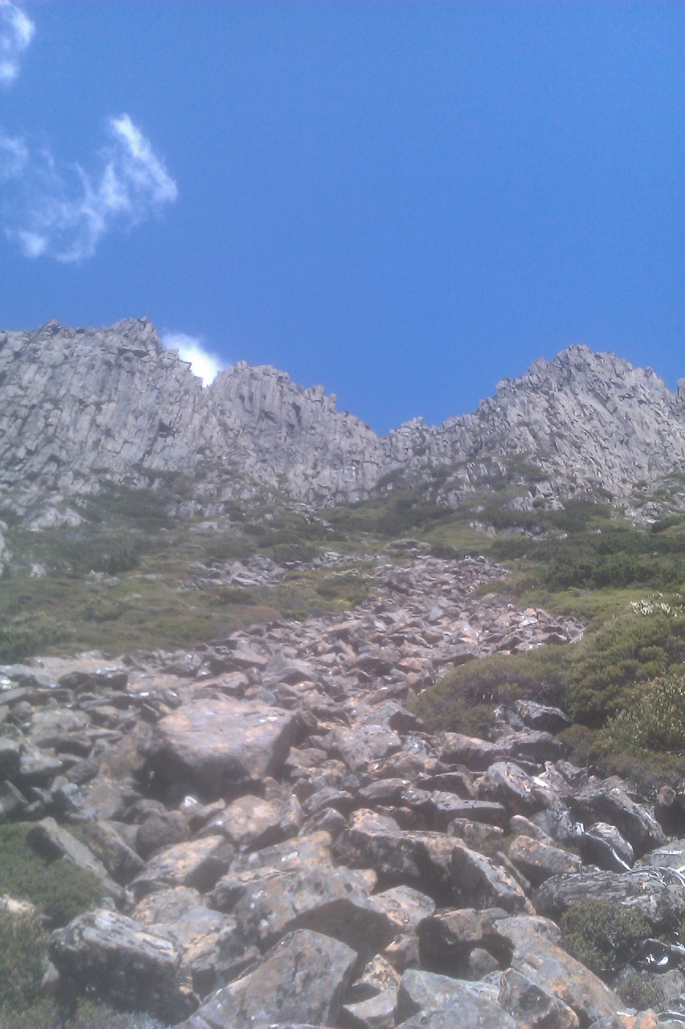
After reaching my turn-back time of 4pm, I decided to drop down one of the gulleys to the right, which I could see led to easy ground. Little streams ran down the gulleys, and a morraine runout reminded me of New Zealand. I forgot to keep track of where I had come down, but the best guess from the photo is maybe I made it 1/2 to 1/3 of the way to the summit track.