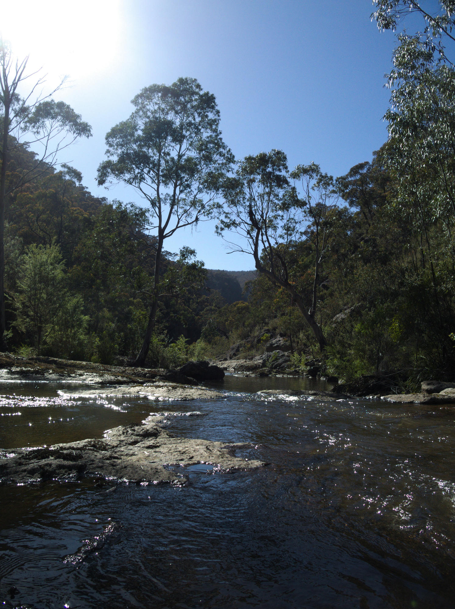
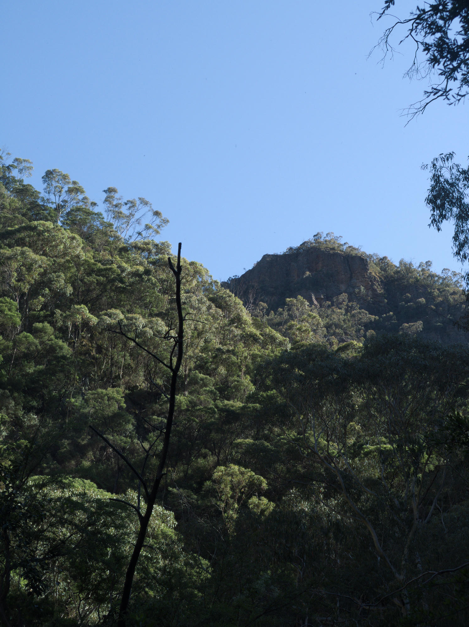
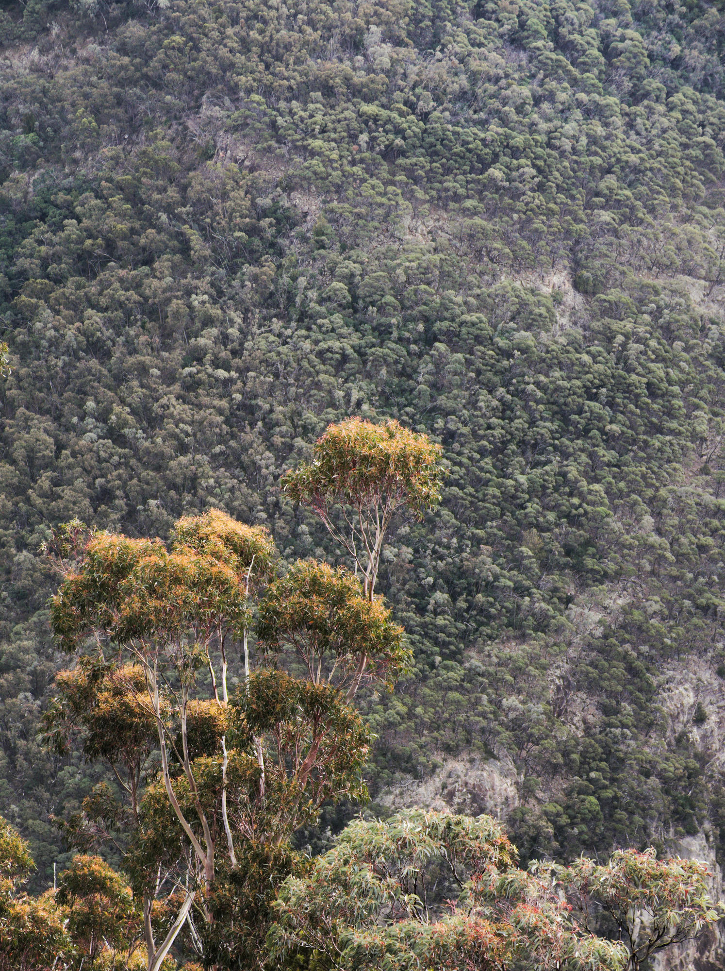
Returning to Little River Gorge was an exciting prospect. Aparently Little River Gorge is Victoria's deepest gorge. A fair way North-East of Buchan, it is one of the more remote areas of Victoria. When travelling around there, and especially into the gorge, one gets the special feeling that no one else has been there before, especially when no traces of campfires or rubbish can be found.
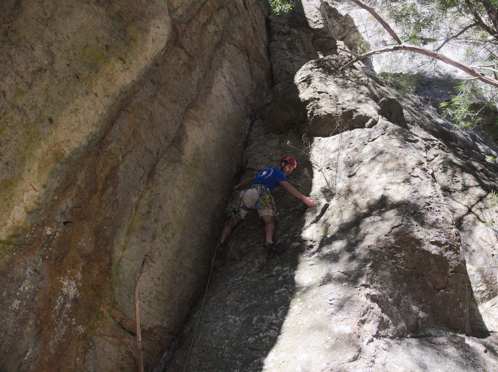
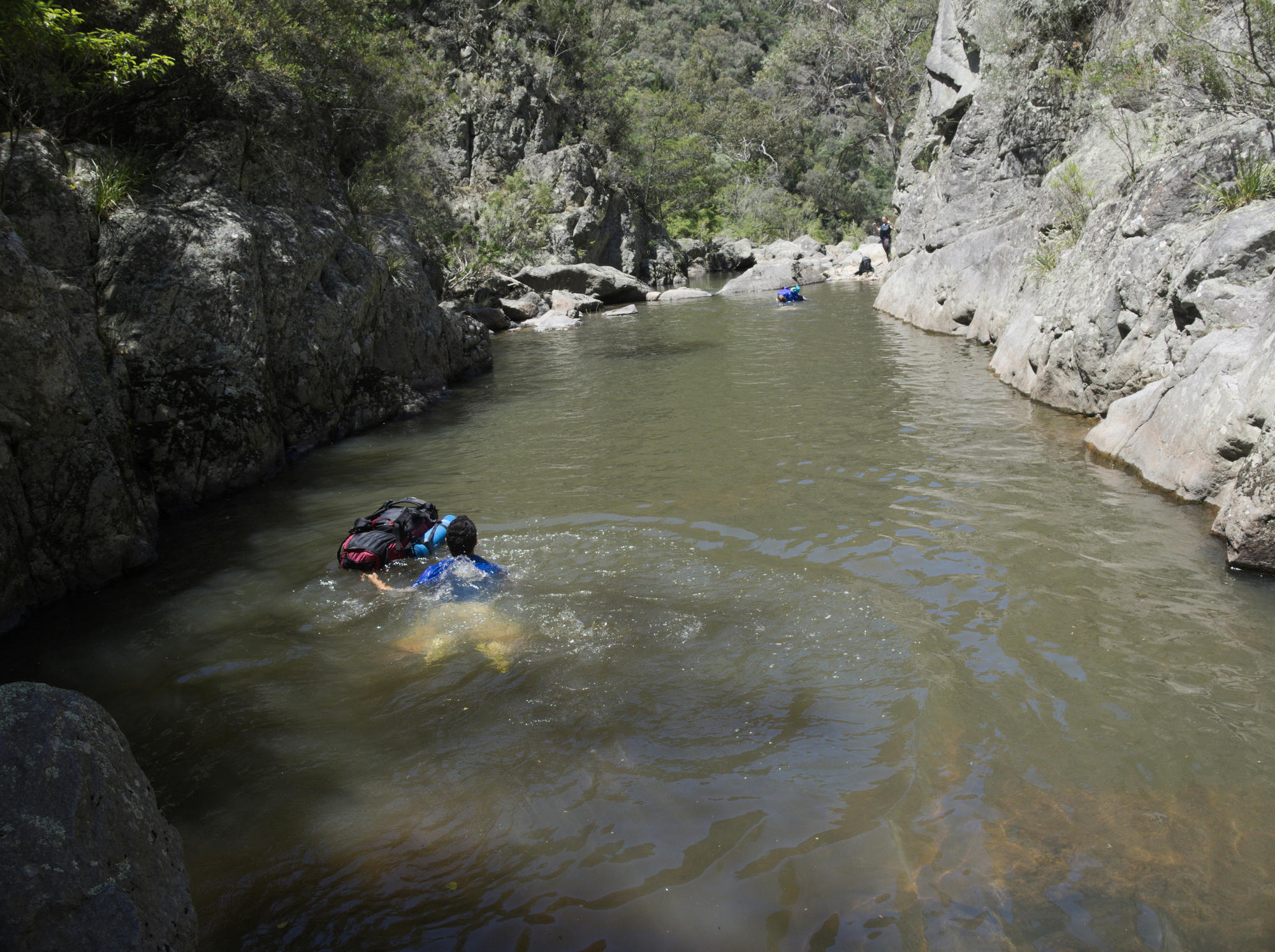
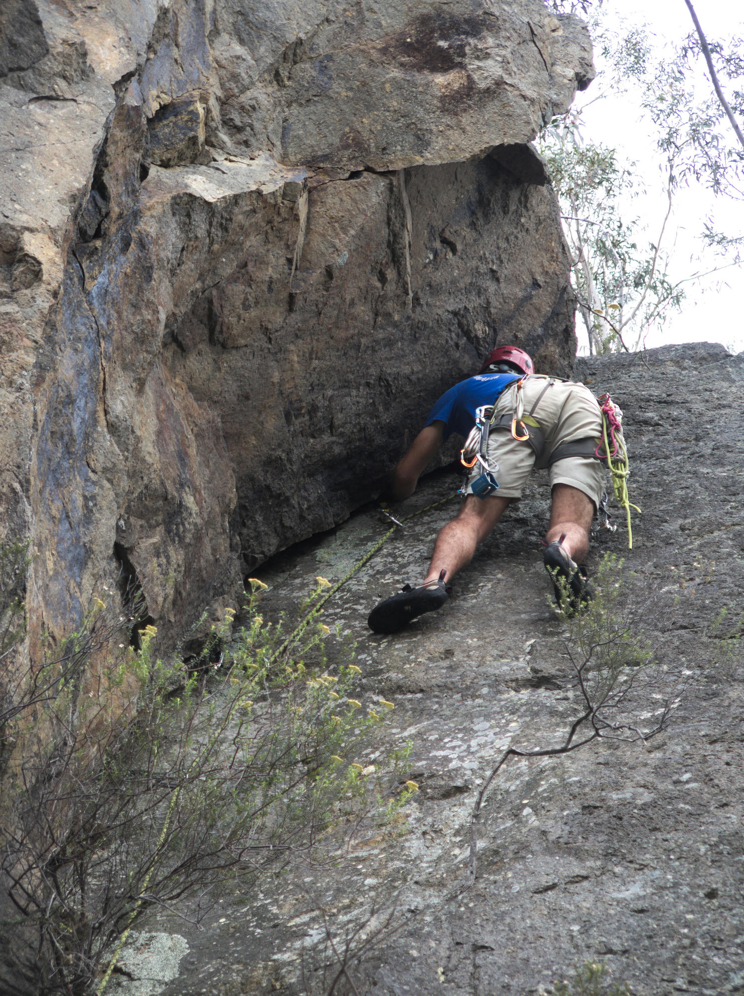
This time it was decided that we would carry a trad climbing rack between us so we could do some climbing while we were down there. A leisurely pace of 5 days was allowed for the driving from/to Melbourne and the walk itself. The weather was warmer and the water was the perfect temperature for swimming.
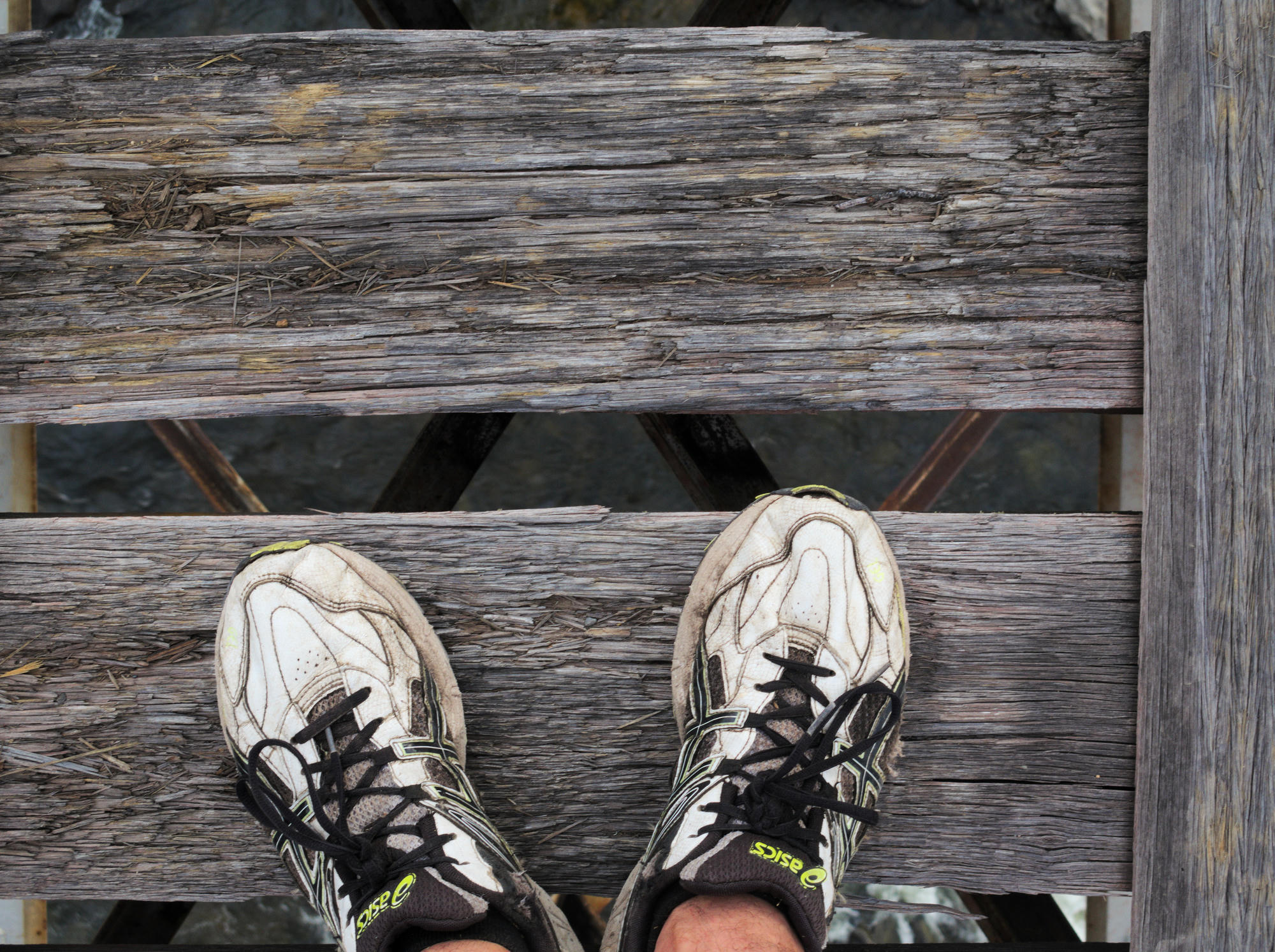
Arriving at the bridge near Little River Falls, we parked the car, and had an interesting gentleman sitting by himself on the bridge who asked whether we were worried about our car remaining in that spot for 5 days. We weren't before, but we were now! This was to remain a topic of conversation for the entire trip.
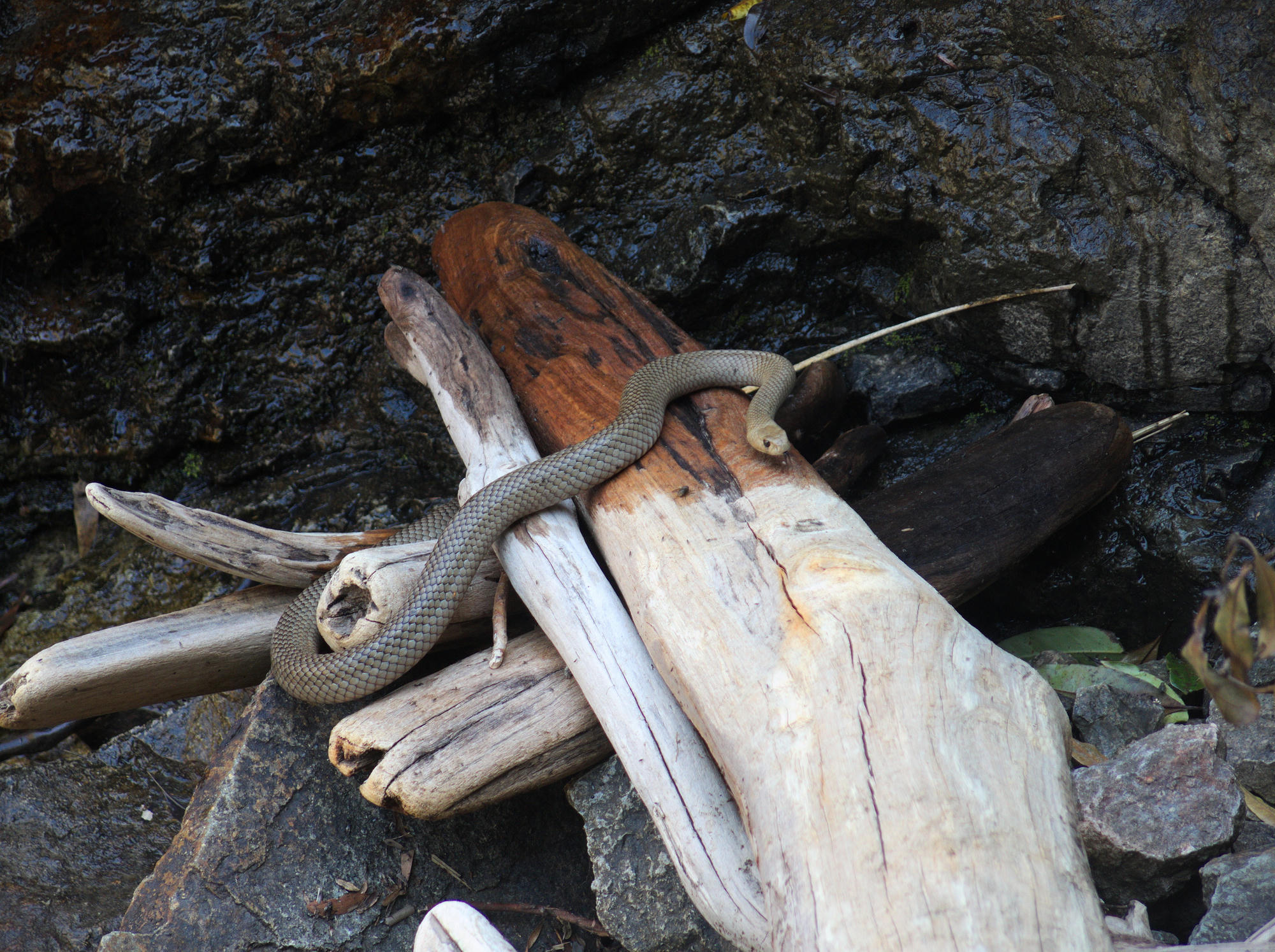
I'll keep the description light because I really valued not knowing much before embarking on a visit to this location, it increased the sense of adventure by a factor of two at least. View the photos at the bottom at your own peril. We saw a lot of wildlife, including a snake in the water, which was exciting. Many large lizards skipped off over the water as we approached.
An attempt was made to reach Wulgulmerang Falls, but we neglected to bring our rope on that side trip. It's a bit sketchy up there.
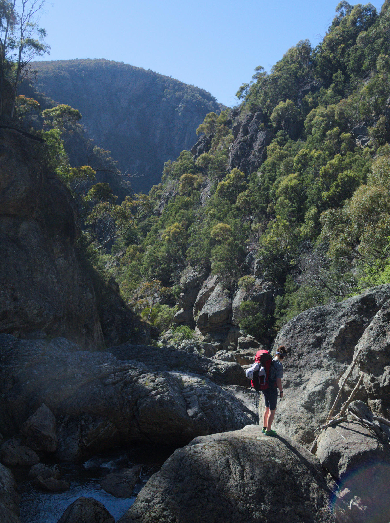
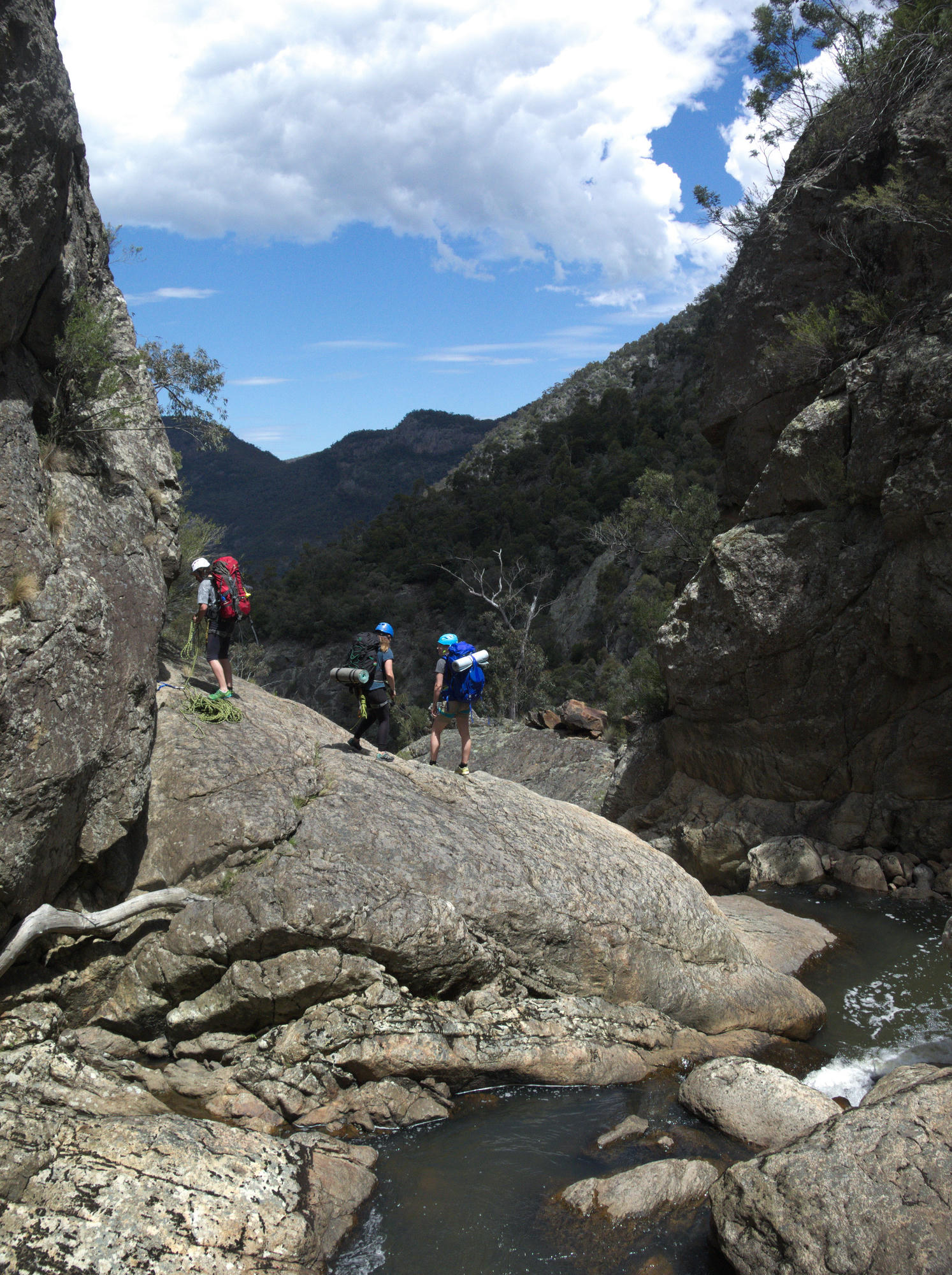
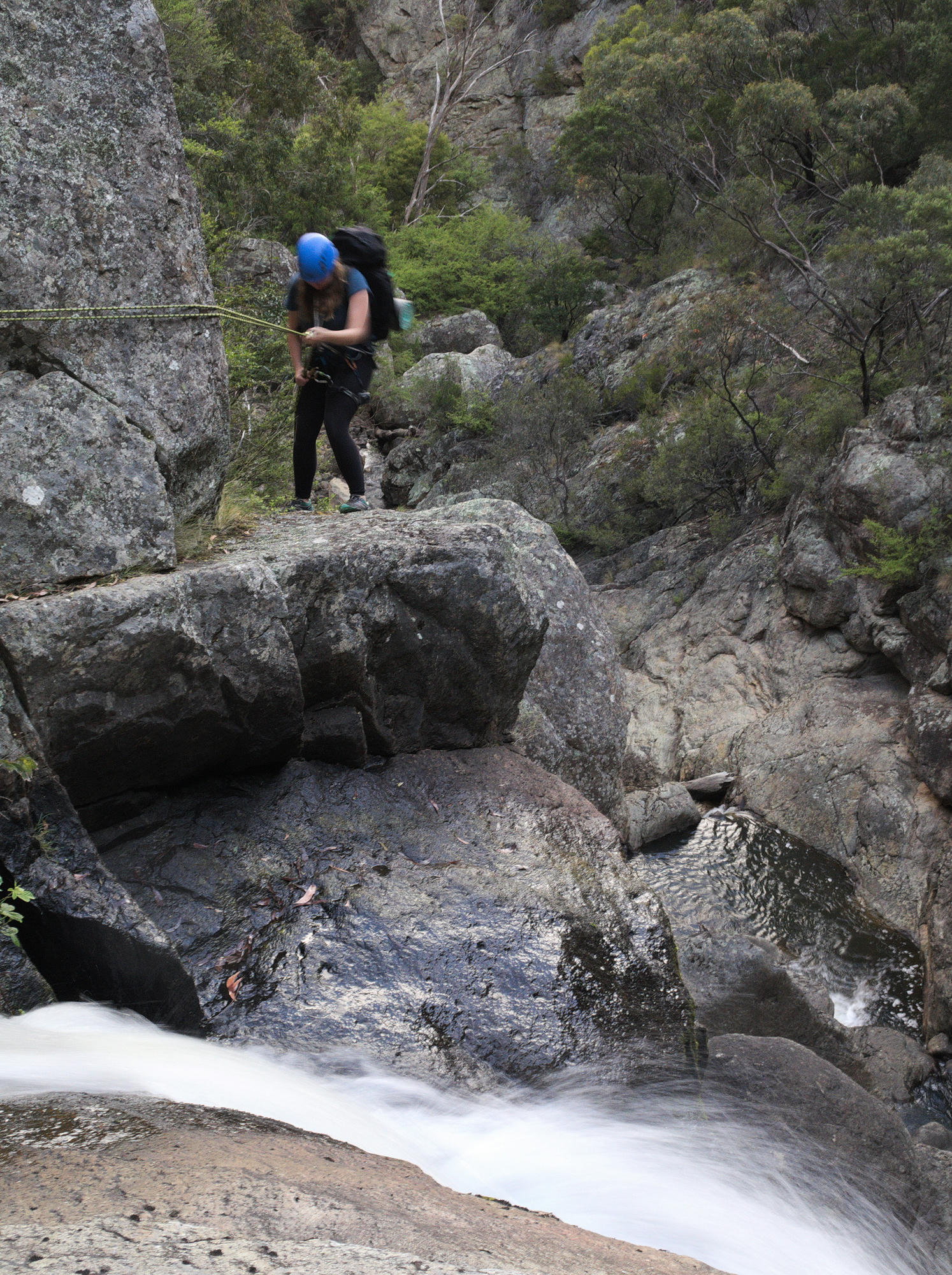
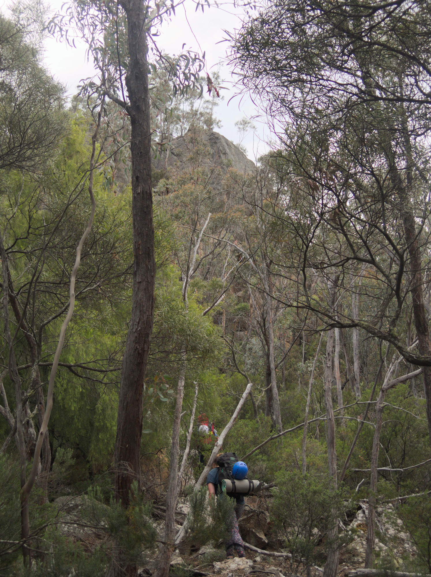
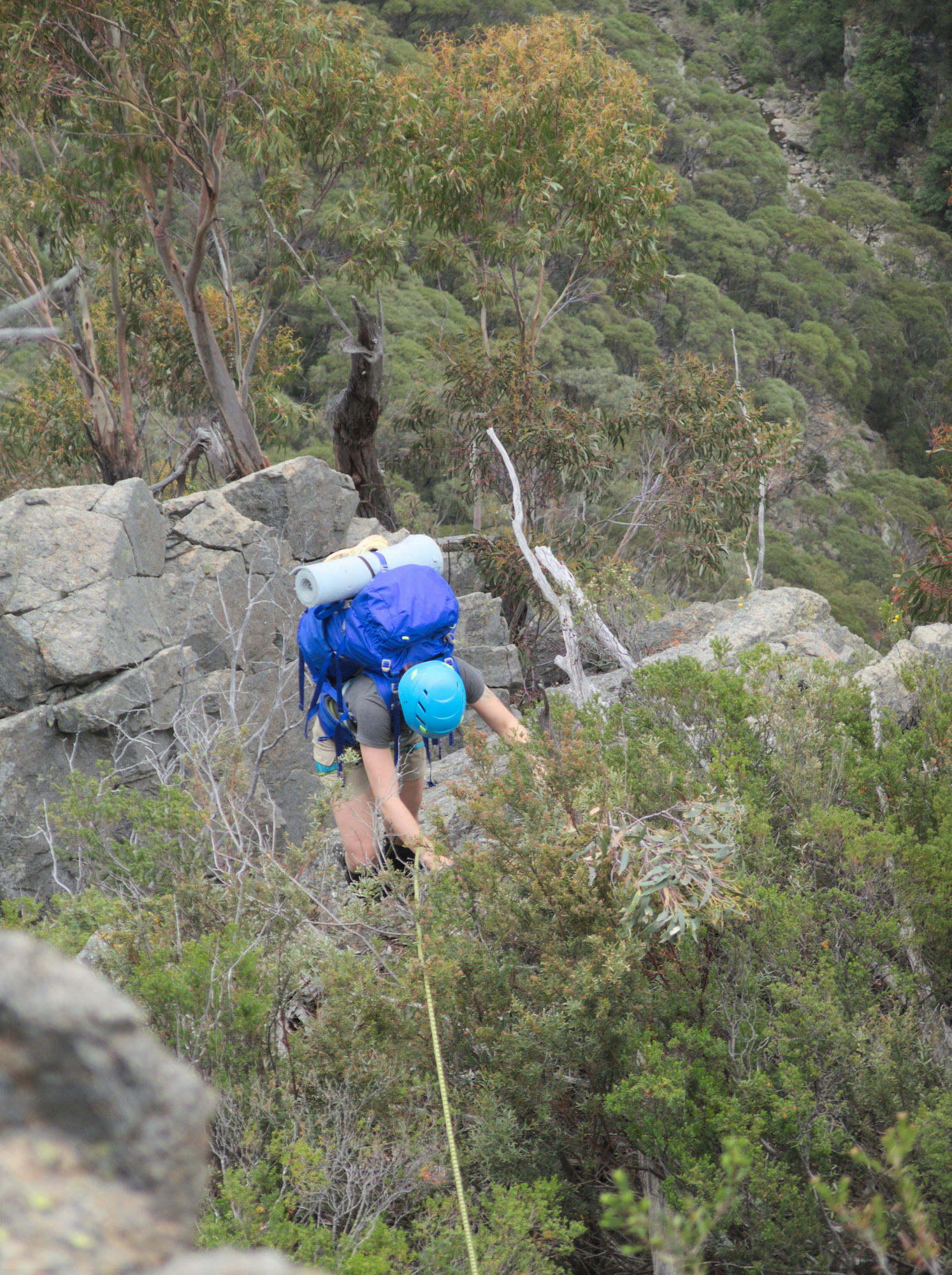
On the final day in the gorge, we scouted out for a suitable ridge to ascend back up the north side to reach the road and eventually our car (assuming it was still there). There were some cliffs around but a more direct route was chosen in favour of the dense scrub on another nearby spur, figuring that we should be able to get up with the climbing gear we had brought.
If it had been raining the first, steep section of the climb out would have been almost unbearable, but for us it was a short moment of unpleasantness before gaining the exciting, exposed ridge line. We found ourselves thanking the wombats for clearing us tracks.
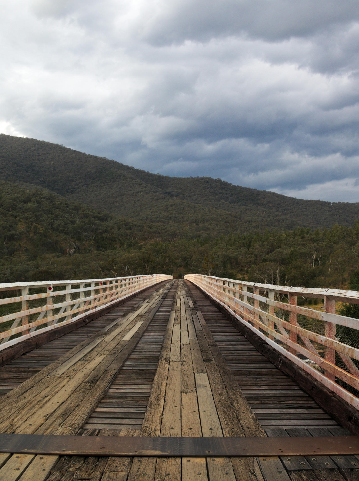
The final night was spent at McKillop Bridge at the campsite, where we were lucky enough to witness an impressive thunderstorm. It was good that we were no longer down in the gorge.
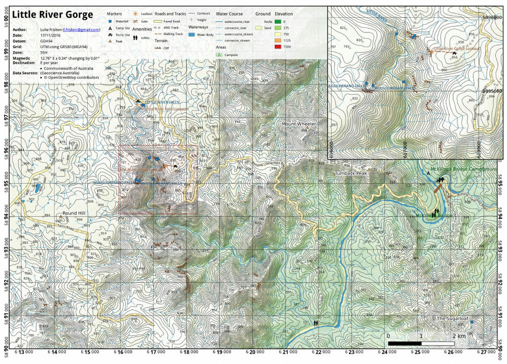
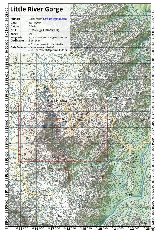
Before the trip I took the time to create a couple of maps using QGIS and the data available from the Victorian Government. I'll create a post sometime in the future as to the process required for attaining this data and putting it into a map with QGIS. Use these maps at your own risk, I have no guarantees that they are correct, but they did the job for us just fine while we were down there, we did not even need to take a GPS.